
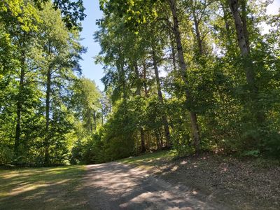
Västra Hargs lövskogar, nature reserve in Östergötland, Sweden
Location: Mjölby Municipality
Inception: December 21, 2009
GPS coordinates: 58.25714,15.25803
Latest update: March 9, 2025 18:35
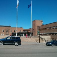
Mjölby Municipality
10.6 km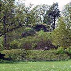
Svaneholms borgruin, Östergötland
2.1 km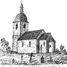
Östra Tollstad Church
8.9 km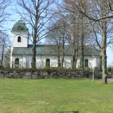
Gammalkils kyrka
10.2 km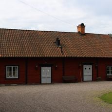
Lundby kapell
10.6 km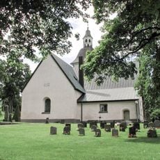
Åsbo Church
9 km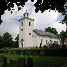
Västra Hargs kyrka
880 m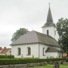
Sya Church
9 km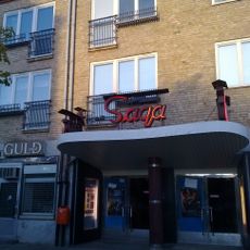
Saga
10.6 km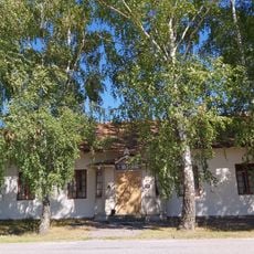
Härsnäs missionshus
3.9 km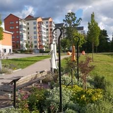
Lillåparken
10.6 km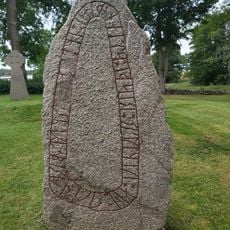
Östergötlands runinskrifter 197
10.4 km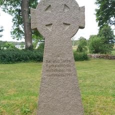
Sörby Church
10.4 km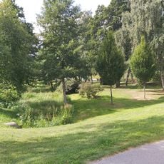
Strömparken
10.6 km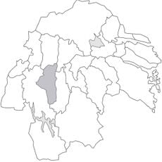
Vifolka tingslag
8.9 km
Östergötlands runinskrifter 200
9 km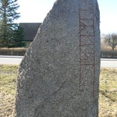
Östergötlands runinskrifter 199
8.8 km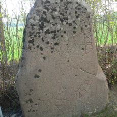
Östergötlands runinskrifter 180
10.1 km
Jättekullen
7.6 km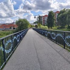
Kvarnparksbron
10.6 km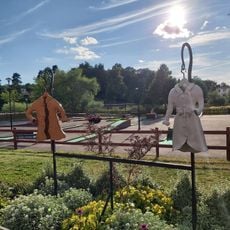
Per-Olof Ahls plats
10.6 km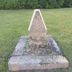
Milstolpe
10.6 km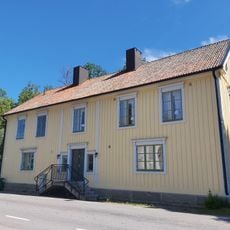
Västra Hargs församlingshem
845 m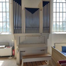
Västra Hargs kyrkas kororgel by Reinhard Kohlus
861 m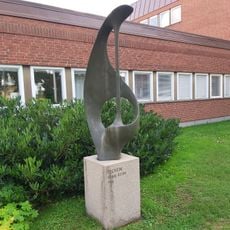
Tecken
10.4 km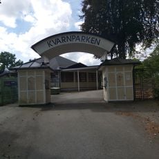
Kvarnparken, Mjölby
10.6 km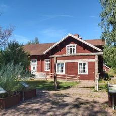
Västra Hargs hembygdsgård
565 m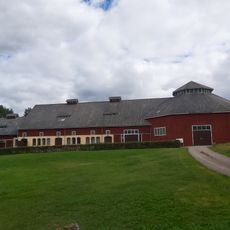
Sörby rundloge
10.2 kmReviews
Visited this place? Tap the stars to rate it and share your experience / photos with the community! Try now! You can cancel it anytime.
Discover hidden gems everywhere you go!
From secret cafés to breathtaking viewpoints, skip the crowded tourist spots and find places that match your style. Our app makes it easy with voice search, smart filtering, route optimization, and insider tips from travelers worldwide. Download now for the complete mobile experience.

A unique approach to discovering new places❞
— Le Figaro
All the places worth exploring❞
— France Info
A tailor-made excursion in just a few clicks❞
— 20 Minutes