
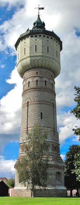
Gamla vattentornet, Skara, byggnadsminne i Skara
Location: Skara Municipality
Inception: 1898
GPS coordinates: 58.38147,13.43688
Latest update: March 31, 2025 01:59
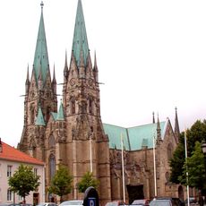
Skara Cathedral
578 m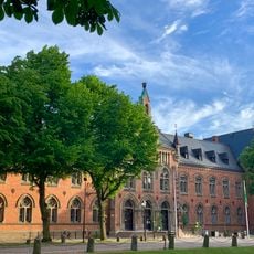
Gemeinde Skara
1.7 km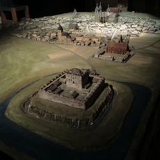
Gälakvist
292 m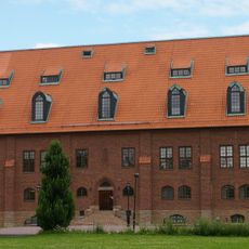
Västergötland museum
968 m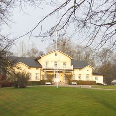
Götala kungsgård
2.7 km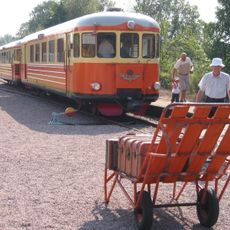
Skara–Lundsbrunns railways
798 m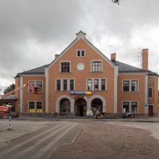
Skara railway station
254 m
Djäkneskolan
504 m
Skara stifts- och landsbibliotek
634 m
Skara veterinärinrättning
842 m
Härjevads gamla kyrka
1 km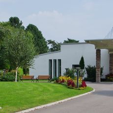
Marie gravkapell
1.9 km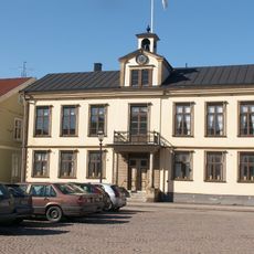
Rådhuset, Skara
527 m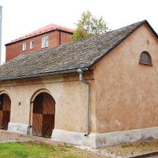
Brandmuseet, Skara
405 m
Skarabygden's verdicts
330 m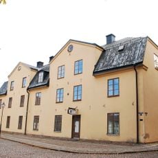
Skara domkapitelhus
558 m
Skarabygden's domsaga
330 m
Skara, Skånings och Valle tingslag
330 m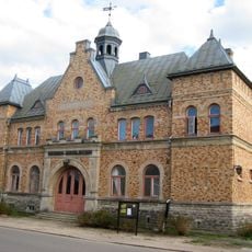
Skånings och Valle tingslag
330 m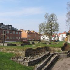
S:t Nicolai kyrkoruin, Skara
583 m
Skara 62:3
1.9 km
Skara 49:1
3.2 km
Skara 25:1
3.2 km
Skara 92:1
3.3 km
Skara 62:2
1.9 km
Skara 34:1
2.1 km
"Tempelbacken"
2.2 km
Skara 23:1
3.2 kmReviews
Visited this place? Tap the stars to rate it and share your experience / photos with the community! Try now! You can cancel it anytime.
Discover hidden gems everywhere you go!
From secret cafés to breathtaking viewpoints, skip the crowded tourist spots and find places that match your style. Our app makes it easy with voice search, smart filtering, route optimization, and insider tips from travelers worldwide. Download now for the complete mobile experience.

A unique approach to discovering new places❞
— Le Figaro
All the places worth exploring❞
— France Info
A tailor-made excursion in just a few clicks❞
— 20 Minutes