
Mörbylånga, district in Mörbylånga Municipality, Sweden
Location: Mörbylånga Municipality
Inception: January 1, 2016
Part of: Öland
GPS coordinates: 56.51944,16.39833
Latest update: March 3, 2025 02:06
Mörbylånga Municipality
6.6 km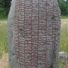
Karlevi Runestone
10.1 km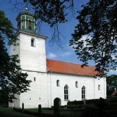
Resmo Church
3.7 km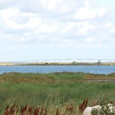
Beijershamn
9.2 km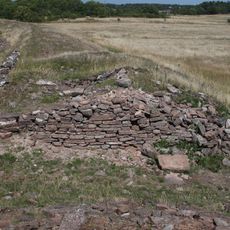
Bårby borg
2.5 km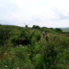
Nunnedalen
4.3 km
Mysinge
2.4 km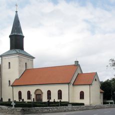
Mörbylånga Church
22 m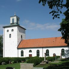
Vickleby Church
7.5 km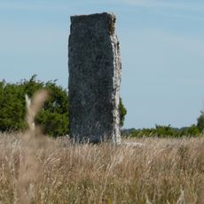
Tingstad flisor
7.7 km
Karlevi
9.9 km
Ganggräber von Resmo
2.6 km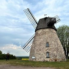
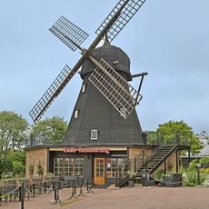
Karlevi stone mill
9.9 km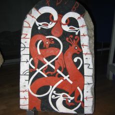
Ölands runinskrifter Fv1911;274B
3.7 km
Vickleby ädellövskog
8.5 km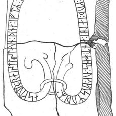
Ölands runinskrifter 9
7 km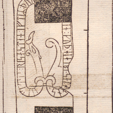
Ölands runinskrifter 7
24 m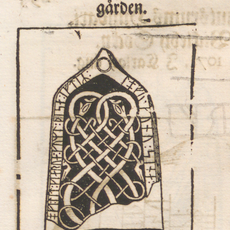
Ölands runinskrifter 6
18 m
Ölands runinskrifter 8
24 m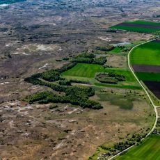
Bjärby alvar
9.7 km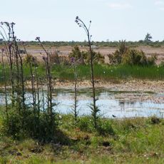
Mysinge
4.8 km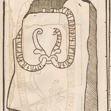
Ölands runinskrifter 10
7 km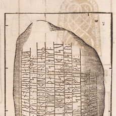
Ölands runinskrifter 1
10.1 km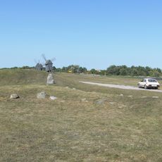
Gynge Hög och Mysinge Hög
3.3 km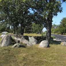
Resmo 84:1
2.6 km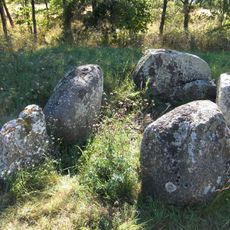
Resmo 32:1
3.8 km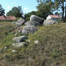
Resmo 81:1
2.7 km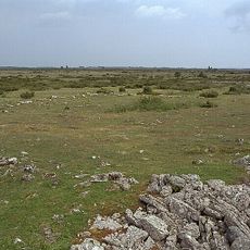
Ammatornsröret
10.6 kmVisited this place? Tap the stars to rate it and share your experience / photos with the community! Try now! You can cancel it anytime.
Discover hidden gems everywhere you go!
From secret cafés to breathtaking viewpoints, skip the crowded tourist spots and find places that match your style. Our app makes it easy with voice search, smart filtering, route optimization, and insider tips from travelers worldwide. Download now for the complete mobile experience.

A unique approach to discovering new places❞
— Le Figaro
All the places worth exploring❞
— France Info
A tailor-made excursion in just a few clicks❞
— 20 Minutes