
Tuna, district in Sundsvall Municipality, Sweden
Location: Sundsvall Municipality
Inception: January 1, 2016
GPS coordinates: 62.32747,17.06531
Latest update: March 5, 2025 14:39
Norra Berget
14.2 km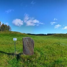
Högom grave field
12.9 km
Court of Appeal for Southern Norrland
13.8 km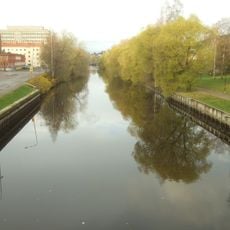
Selångersån
12.6 km
Bünsowska tjärnen
13.9 km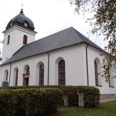
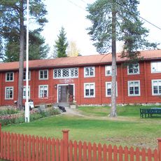
Tuna Church
7 m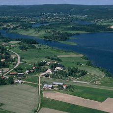
Attmar
1.4 km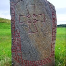
Medelpads runinskrifter 11
12.9 km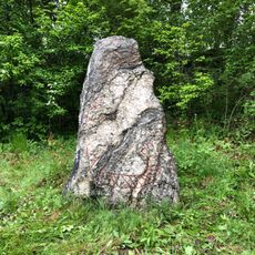
Medelpads runinskrifter 6
2.5 km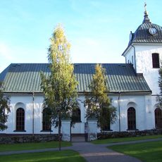
Selångers parish
9.1 km
Norra stadsberget
14.3 km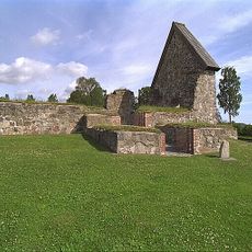
Selångers kyrkoruin
11.4 km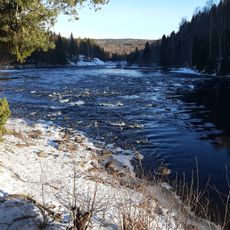
Grenforsen
8.4 km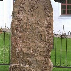
Medelpads runinskrifter 5
1.8 km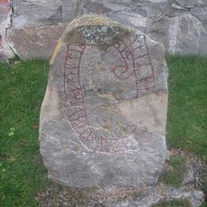
Medelpads runinskrifter 10
11.4 km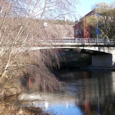
Widesbron
13.3 km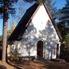
Sakristian/Fornkyrkan
14.3 km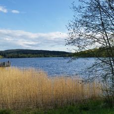
Sidsjö
12.1 km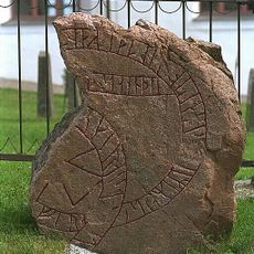
Medelpads runinskrifter 4
1.8 km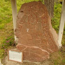
Medelpads runinskrifter 8 (Skölestenen)
3.9 km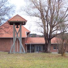
Granlo (stadsdelsområde)
13.3 km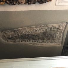
Medelpads runinskrifter 7
15 m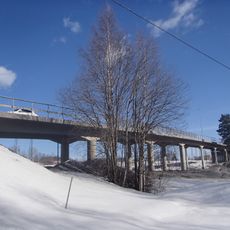
Bergsåkersbron
12.4 km
Sporthallsbron
13.8 km
Målstaallmänningen
14.7 km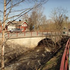
Fagerdalsbron
12.9 km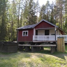
Grenforsen Cottage
8.5 km
Sidsjöbron
12.5 kmReviews
Visited this place? Tap the stars to rate it and share your experience / photos with the community! Try now! You can cancel it anytime.
Discover hidden gems everywhere you go!
From secret cafés to breathtaking viewpoints, skip the crowded tourist spots and find places that match your style. Our app makes it easy with voice search, smart filtering, route optimization, and insider tips from travelers worldwide. Download now for the complete mobile experience.

A unique approach to discovering new places❞
— Le Figaro
All the places worth exploring❞
— France Info
A tailor-made excursion in just a few clicks❞
— 20 Minutes