Enviken 246:1, ristning, medeltid/historisk tid i Dalarna
Location: Falun Municipality
GPS coordinates: 60.97030,15.73932
Latest update: October 29, 2025 23:01
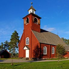
Envikens gamla kyrka
19.7 km
Svabensverks kyrka
8.6 km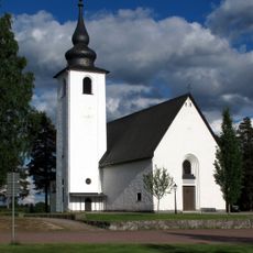
Enviken Church
18.3 km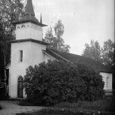
Dådrans kapell
11.4 km
Hämmen
7.3 km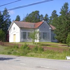
Svabensverks kapellag
8.6 km
Rättvik 179:1
13.6 km
Svärdsjö 68:1
22.7 km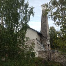
Svartnäs bruk
22.5 km
Danielsgården
7.6 km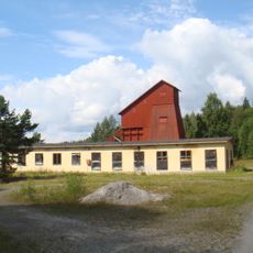
Vintjärns gruvor
22.7 km
Boda 185
19 km
Rättvik 500
23 km
Rättvik 476
22.7 km
Dådrans kapell
11.4 km
Rättvik 473
22.6 km
Rättvik 468
22.6 km
Rättvik 470
22.7 km
Rättvik 403
19.1 km
Rättvik 472
22.7 km
Rättvik 469
22.6 km
Rättvik 392
17.1 km
Rättvik 501
23 km
Rättvik 471
22.6 km
Ärtknubben
21.9 km
Scenic viewpoint
21.2 km
Scenic viewpoint, tower
9.8 km
Våckelberget
8.7 kmReviews
Visited this place? Tap the stars to rate it and share your experience / photos with the community! Try now! You can cancel it anytime.
Discover hidden gems everywhere you go!
From secret cafés to breathtaking viewpoints, skip the crowded tourist spots and find places that match your style. Our app makes it easy with voice search, smart filtering, route optimization, and insider tips from travelers worldwide. Download now for the complete mobile experience.

A unique approach to discovering new places❞
— Le Figaro
All the places worth exploring❞
— France Info
A tailor-made excursion in just a few clicks❞
— 20 Minutes