
Hedemora 123:1, hällristning i Dalarna
Location: Hedemora Municipality
GPS coordinates: 60.28133,15.87120
Latest update: April 25, 2025 03:26
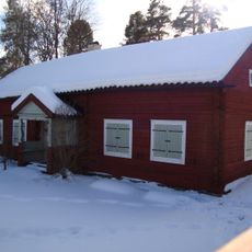
Hedemora gammelgård
5.9 km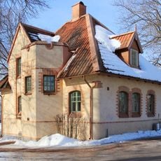
Wahlmanska huset
6.2 km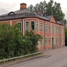
Bergstrandska huset
6.2 km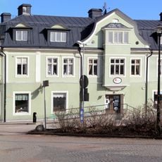
Järnhandelns hus
6.4 km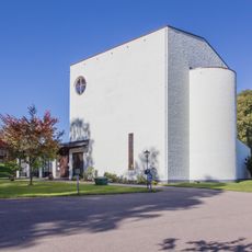
Vikmanshyttan Church
3.1 km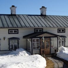
Kuhnegården
6.1 km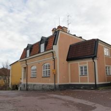
Gamla sparbanken, Hedemora
6.2 km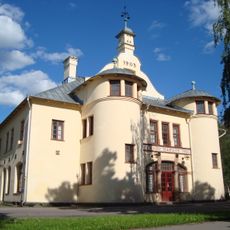
Hedemora domsaga
6 km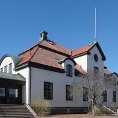
Hedemora tingslag
6 km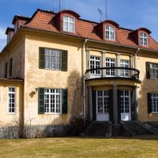
Haffnerska villan
6.3 km
Stadsberget
5.6 km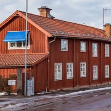
Dräckes Mina Aronssons gård
6.2 km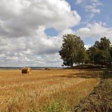
Hedemora 52:1
5.7 km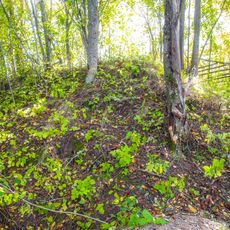
Hedemora 56:1
5.7 km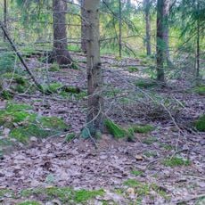
Hedemora 323:2
6.2 km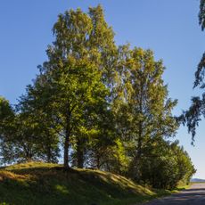
Hedemora 51:1
5.8 km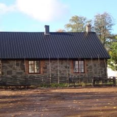
Vikmanshyttans bruksmuseum
2.8 km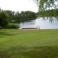
Matbosjöns badplats
5.4 km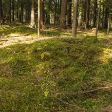
Hedemora 67:2
4.7 km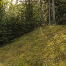
Hedemora 63:3
4.7 km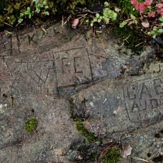
Skrivarhällarna
5.5 km
Hedemora 63:1
4.7 km
Hedemora 323:3
6.2 km
Hedemora 67:3
4.7 km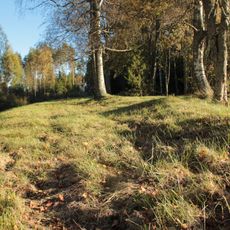
Hedemora 63:2
4.7 km
Hedemora 67:1
4.8 km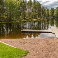
Public beach Turbobadet
5 km
Kapellbäcken
4.8 kmReviews
Visited this place? Tap the stars to rate it and share your experience / photos with the community! Try now! You can cancel it anytime.
Discover hidden gems everywhere you go!
From secret cafés to breathtaking viewpoints, skip the crowded tourist spots and find places that match your style. Our app makes it easy with voice search, smart filtering, route optimization, and insider tips from travelers worldwide. Download now for the complete mobile experience.

A unique approach to discovering new places❞
— Le Figaro
All the places worth exploring❞
— France Info
A tailor-made excursion in just a few clicks❞
— 20 Minutes