
Leksand 998, ristning, medeltid/historisk tid i Dalarna
Location: Leksand Municipality
GPS coordinates: 60.63774,14.57711
Latest update: August 9, 2025 05:31
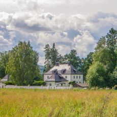
Hildasholm
24.5 km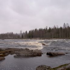
Fänforsen
20.3 km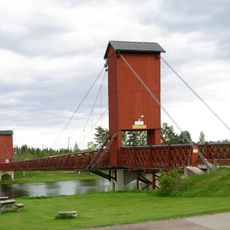
Hängbron, Dala Floda
19 km
Gagnefs kyrka
26 km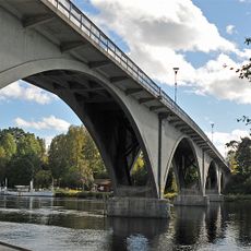
Leksandsbron
25.1 km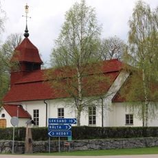
Djura Church
23.4 km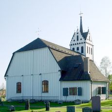
Mockfjärds kyrka
26.3 km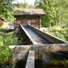
Kvarna
17.8 km
Floda Church
18.9 km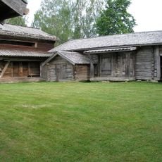
Lisskvarngården
19.1 km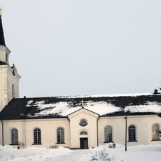
Siljansnäs Church
21.8 km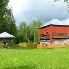
Tanså hytta
26.3 km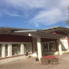
Kulturhuset, Leksand
24.9 km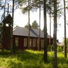
Vansbro Church
23.3 km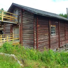
Utanheds kvarn
21.2 km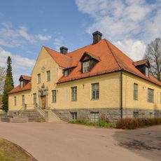
Nedansiljans domsaga
25.2 km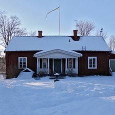
Kaptensgården i Tibble
26.5 km
Björbo Lillkyrka
21.6 km
Leksands och Gagnefs tingslag
25.2 km
Nedansiljans domsagas tingslag
25.2 km
Siljansnäs
22.8 km
Lugnet-Barkdal
24.8 km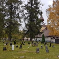
Leksand cemetery
24.4 km
Visir
25.1 km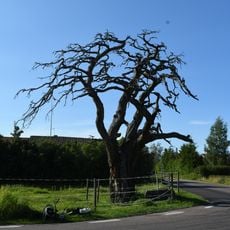
2004028 (W-id) En paraplytall "Arvidstallen"
26.4 km
Siljan airpark
21.4 km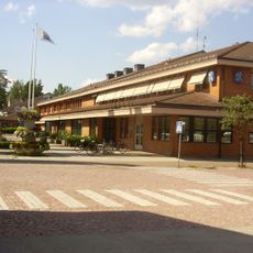
Sågverksmuseet
24 km
Ishockeymuseum
24.8 kmReviews
Visited this place? Tap the stars to rate it and share your experience / photos with the community! Try now! You can cancel it anytime.
Discover hidden gems everywhere you go!
From secret cafés to breathtaking viewpoints, skip the crowded tourist spots and find places that match your style. Our app makes it easy with voice search, smart filtering, route optimization, and insider tips from travelers worldwide. Download now for the complete mobile experience.

A unique approach to discovering new places❞
— Le Figaro
All the places worth exploring❞
— France Info
A tailor-made excursion in just a few clicks❞
— 20 Minutes