
Olanders kulle, Hügelgrab in Schweden
Location: Laholm Municipality
GPS coordinates: 56.49806,13.02891
Latest update: March 11, 2025 11:59
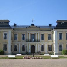
Skottorp Castle
7.6 km
Hemmeslöv
11.3 km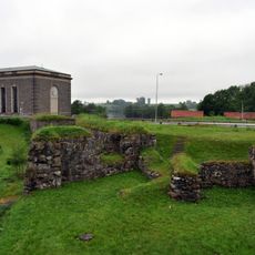
Lagaholm
2.4 km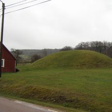
Lugnarohögen
9.6 km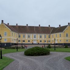
Vallen Castle
9.7 km
Laholm Bay Beach
6.1 km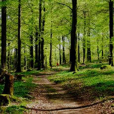
Osbeck beech forests
10.3 km
Laholms teckningsmuseum
1.9 km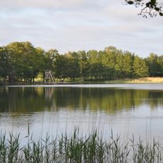
Glänninge sjö
1.4 km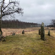
Örelids stenar
5.9 km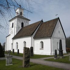
Ysby Church
5.5 km
Vippentorpet
10.2 km
Veinge by
9.1 km
Lagaholm (ship, 1888)
1.6 km
Tönnersa
8.4 km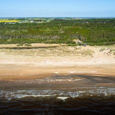
Gullbranna
11.2 km
Äppelgårdens Golfklubb
10.4 km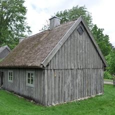
Södra Hallands hembygdsförening
1.4 km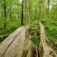
Täppesås
11.1 km
Maxim
1.9 km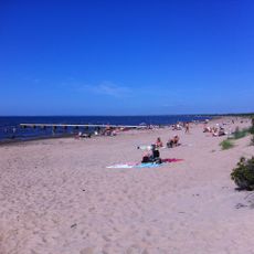
Hemmeslöv public beach
11.3 km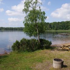
Gatessjön, public beach
10.7 km
Vingshögarna
9.8 km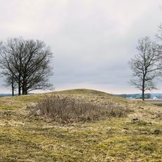
Vingshögarna
9.8 km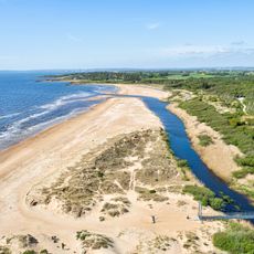
Public beach Gullbranna
11.2 km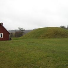
Lungnarohögen
9.6 km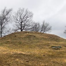
Vingshögarna
9.8 km
Hausknechtska huset
1.8 kmReviews
Visited this place? Tap the stars to rate it and share your experience / photos with the community! Try now! You can cancel it anytime.
Discover hidden gems everywhere you go!
From secret cafés to breathtaking viewpoints, skip the crowded tourist spots and find places that match your style. Our app makes it easy with voice search, smart filtering, route optimization, and insider tips from travelers worldwide. Download now for the complete mobile experience.

A unique approach to discovering new places❞
— Le Figaro
All the places worth exploring❞
— France Info
A tailor-made excursion in just a few clicks❞
— 20 Minutes