
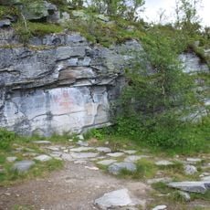
Hede 201:1, hällmålning i Härjedalen
Location: Härjedalen Municipality
GPS coordinates: 62.63303,13.17122
Latest update: March 7, 2025 12:14
Hällmålningarna på Flatruet
11.9 km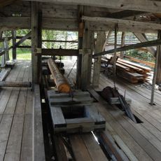
Ljusnedals bruk
30.7 km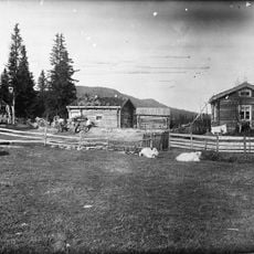
Vivallen
37.8 km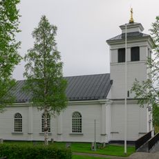
Tännäs Church
33 km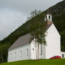
Funäsdalen Church
33.7 km
Härjedalens fjällmuseum
33.8 km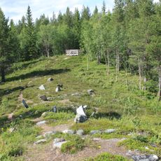
Krankmårtenhögen
17.4 km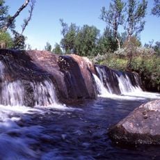
Arån
36.2 km
Långå skans
20.2 km
Hede kommun
29.2 km
Henvålen Nature Reserve
12.2 km
Hede church
29.8 km
Ånnfjället
24.4 km
Storsjö Church
19.6 km
Ljungdalens kapell
31.9 km
Börtnen
38.3 km
Storsjö 74:1
30.9 km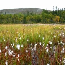
Arådalen
39.2 km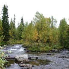
Galån
38.7 km
Ormruet
30.8 km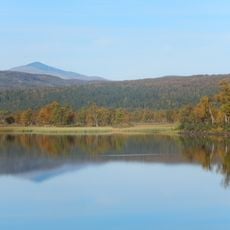
Nedre Skärvagen
30.4 km
Stor-Axhögen
35.4 km
Lill-Axhögen
37.5 km
Storsjö 51:2
30.3 km
Storsjö 74:2
30.9 km
Funäsdalssjön
32.7 km
Storsjö 51:1
30.3 km
Storsjö 72:1
35.5 kmReviews
Visited this place? Tap the stars to rate it and share your experience / photos with the community! Try now! You can cancel it anytime.
Discover hidden gems everywhere you go!
From secret cafés to breathtaking viewpoints, skip the crowded tourist spots and find places that match your style. Our app makes it easy with voice search, smart filtering, route optimization, and insider tips from travelers worldwide. Download now for the complete mobile experience.

A unique approach to discovering new places❞
— Le Figaro
All the places worth exploring❞
— France Info
A tailor-made excursion in just a few clicks❞
— 20 Minutes