
Öreryd 6:1, stone setting in Gislaved Municipality, Jönköping County, Sweden
Location: Gislaved Municipality
GPS coordinates: 57.51363,13.67786
Latest update: April 6, 2025 00:57
Gemeinde Tranemo
14.7 km
Isaberg
9.8 km
Opensten
19.9 km
Tranemo Church
20 km
Glasets hus
19.5 km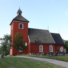
Mossebo Church
15.1 km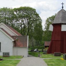
Södra Åsarps kyrka
18.3 km
Källeryds kyrka
11.8 km
Dalstorp Church
14.8 km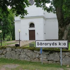
Båraryd Church
20.7 km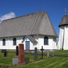
Norra Unnaryd Church
9.5 km
Norra Hestra Church
9.9 km
Öreryds kyrka
2.5 km
Algustorpasjön
10.1 km
Valdshult Church
4.3 km
Åsenhöga Church
13.9 km
Grönahög Church
17.5 km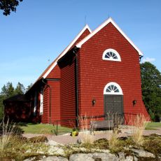
Ölsremma Church
12.3 km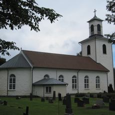
Nittorp Church
11.5 km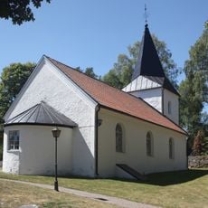
Hulared Church
17.3 km
Marieholms kyrka
18 km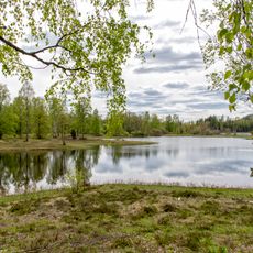
Ettö
8.9 km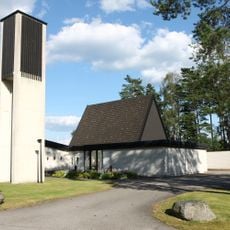
Grimsås Church
8.3 km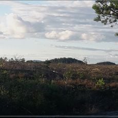
Anderstorps Stormosse
21.2 km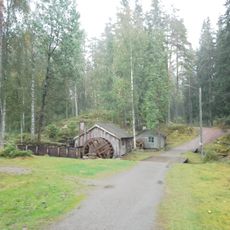
Töllstorps industrimuseum
17.4 km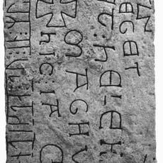
Smålands runinskrifter 115
2.5 km
Public beach Köttkullasjön
21.3 km
Hylténs metallvarufabrik
19.5 kmReviews
Visited this place? Tap the stars to rate it and share your experience / photos with the community! Try now! You can cancel it anytime.
Discover hidden gems everywhere you go!
From secret cafés to breathtaking viewpoints, skip the crowded tourist spots and find places that match your style. Our app makes it easy with voice search, smart filtering, route optimization, and insider tips from travelers worldwide. Download now for the complete mobile experience.

A unique approach to discovering new places❞
— Le Figaro
All the places worth exploring❞
— France Info
A tailor-made excursion in just a few clicks❞
— 20 Minutes