
Lekeryd 6:1, röse i Småland
Location: Jönköping Municipality
GPS coordinates: 57.78993,14.42290
Latest update: April 25, 2025 18:17
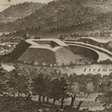
Rumlaborg
9.3 km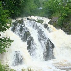
Huskvarna Falls
8.1 km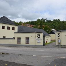
Husqvarna Museum
8.3 km
Stora Sanna
10.4 km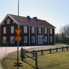
Svarttorp
3 km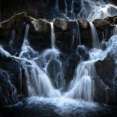
East Vättern Scarp landscape
6.8 km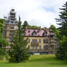
Slottsvillan
8.1 km
Kruthuset i Huskvarna
9 km
Lekeryd Church
2 km
Brunstorp
9.7 km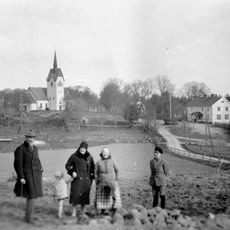
Järsnäs Church
8.3 km
Sanna Church
10.2 km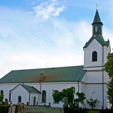
Rogberga Church
10.5 km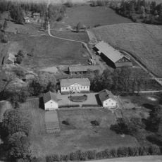
Hakarps säteri
6.8 km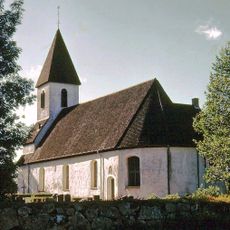
Forserum Church
10.1 km
Garpa skans
8.9 km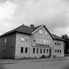
Huskvarna Public Library
8.7 km
Public beach Brunstorpsbadet
9.9 km
Huskvarnabergen
8.8 km
Huskvarna Town Museum
9 km
Uvabergets naturskog och Ramlaklint
6.7 km
Råbyskogen
9.1 km
Viktoriabyn, Huskvarna
8.6 km
Brunstorpsbadet
9.8 km
Strömsholmsskogen
6.9 km
Målabråten
9.2 km
Eken på Huskvarna kyrkogård
9 km
Sm 121, Rogberga kyrkogård
10.5 kmReviews
Visited this place? Tap the stars to rate it and share your experience / photos with the community! Try now! You can cancel it anytime.
Discover hidden gems everywhere you go!
From secret cafés to breathtaking viewpoints, skip the crowded tourist spots and find places that match your style. Our app makes it easy with voice search, smart filtering, route optimization, and insider tips from travelers worldwide. Download now for the complete mobile experience.

A unique approach to discovering new places❞
— Le Figaro
All the places worth exploring❞
— France Info
A tailor-made excursion in just a few clicks❞
— 20 Minutes