
Rödön 19:1, grave field in Jämtland, Sweden
Location: Krokom Municipality
GPS coordinates: 63.22916,14.47015
Latest update: March 23, 2025 23:37
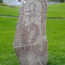
Frösö Runestone
9 km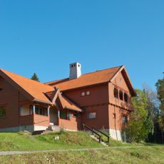
Sommarhagen
6.9 km
Frösö Zoo
6.8 km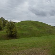
Tibrandshögen
284 m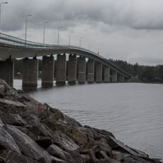
Rödöbron
883 m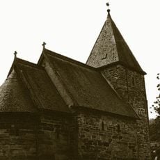
Västerhus kapell
3.4 km
Tysjöarna Nature Reserve
8.4 km
Ändsjön
7.8 km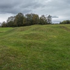
Rödön 33:3
326 m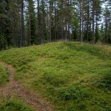
Rödön 27:1
1 km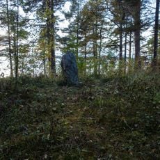
Ås 13:1
3.4 km
Frösö 58:4
6.3 km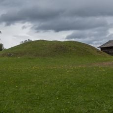
Rödön 33:1
228 m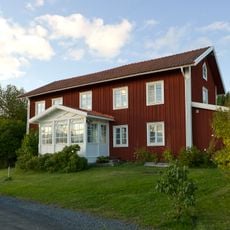
Mickelsgård
7.6 km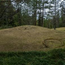
Rödön 29:1
1.1 km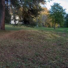
Ås 14:1
3.5 km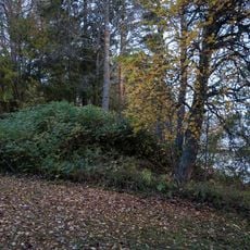
Ås 15:1
3.5 km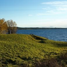
Frösö Redoubt
5.4 km
Scolarebostaden
5.2 km
Collegiebostaden
5.2 km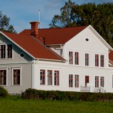
Frösö kyrkskola
6.2 km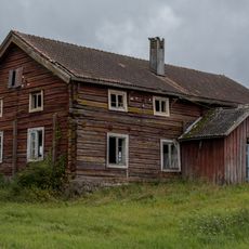
Kroksgård
7.6 km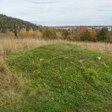
Frösö 80:1
9.1 km
Frösö 58:1
6.4 km
Frösö 79:1
9 km
Frösö 59:2
6.3 km
Tjuvholmen
1 km
Rödön 30:1
1.2 kmReviews
Visited this place? Tap the stars to rate it and share your experience / photos with the community! Try now! You can cancel it anytime.
Discover hidden gems everywhere you go!
From secret cafés to breathtaking viewpoints, skip the crowded tourist spots and find places that match your style. Our app makes it easy with voice search, smart filtering, route optimization, and insider tips from travelers worldwide. Download now for the complete mobile experience.

A unique approach to discovering new places❞
— Le Figaro
All the places worth exploring❞
— France Info
A tailor-made excursion in just a few clicks❞
— 20 Minutes