
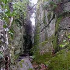
Veddige 76:1, hällristning i Halland
Location: Varberg Municipality
GPS coordinates: 57.28854,12.39302
Latest update: March 3, 2025 04:24
Borrås skåra
9.7 km
Ås Abbey
12.6 km
Klosterfjorden (luuk)
16 km
Åsklosters kungsgård
12.6 km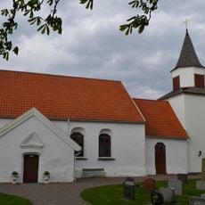
Torpa Church
13 km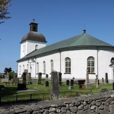
Värö Church
12.4 km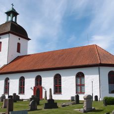
Horred Church
8.4 km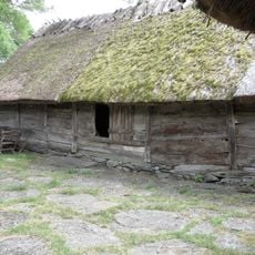
Åkrabergs ladugård
10.3 km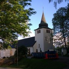
Rolfstorp Church
16.7 km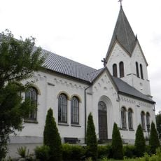
Frillesås Church
9.5 km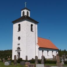
Gällinge Church
14.5 km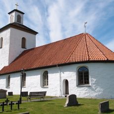
Idala Church
10.9 km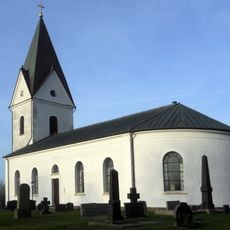
Valinge Church
13 km
Åkraberg
10.3 km
Istorp Church
8.4 km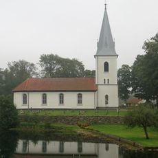
Skällinge Church
12.9 km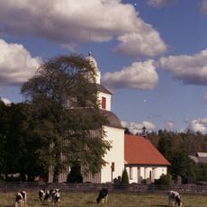
Sällstorp Church
6.1 km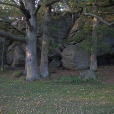
Hjörne
10.4 km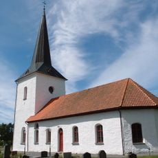
Öxnevalla Church
13.2 km
Rya Church
13.3 km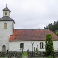
Grimmared Church
6.1 km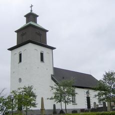
Stamnared Church
8.6 km
Riksdagsmannagården i Axtorp
15.7 km
Kungsäter 14:1
10.8 km
Västra Skogs kvarn
16.6 km
Rumpelösa kyrka
6 km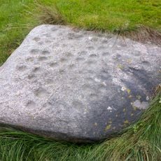
Äggstenen
940 m
Landa kyrka tower
13.8 kmReviews
Visited this place? Tap the stars to rate it and share your experience / photos with the community! Try now! You can cancel it anytime.
Discover hidden gems everywhere you go!
From secret cafés to breathtaking viewpoints, skip the crowded tourist spots and find places that match your style. Our app makes it easy with voice search, smart filtering, route optimization, and insider tips from travelers worldwide. Download now for the complete mobile experience.

A unique approach to discovering new places❞
— Le Figaro
All the places worth exploring❞
— France Info
A tailor-made excursion in just a few clicks❞
— 20 Minutes