Agunnaryd 50:1, husgrund, förhistorisk/medeltida i Småland
Location: Ljungby Municipality
GPS coordinates: 56.74512,14.15058
Latest update: October 25, 2025 12:48
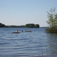
Möckeln
11.7 km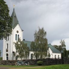
Agunnaryd Church
180 m
Agundaborg
469 m
Södra Ljunga Church
10.9 km
Prästeboda
10.9 km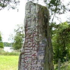
Smålands runinskrifter 42
11.9 km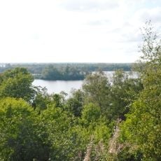
Taxås
12.7 km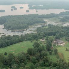
Höö
9.9 km
Agunnarydsjön
819 m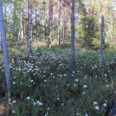
Kroxnäs
12.6 km
Smålands runinskrifter 45
10.7 km
Agunnaryd 6:1
291 m
Agunnaryd 84:1
105 m
Virestad 290:1
11.9 km
Virestad 606
12.8 km
Agunnaryd 22:1
5.9 km
Agunnaryd 38:1
318 m
Agunnaryd 8:1
489 m
Tutaryd 22:1
12.7 km
Ryssby 108:1
11 km
Ryssby 102:1
9.9 km
Drakabacken
10.5 km
Virestad 29:1
12.8 km
Tutaryd 32:1
9.6 km
Agunnaryd 29:2
4.4 km
Agunnaryd 29:1
4.4 km
Agunnaryd 9:1
363 m
Kånna 78:1
12 kmReviews
Visited this place? Tap the stars to rate it and share your experience / photos with the community! Try now! You can cancel it anytime.
Discover hidden gems everywhere you go!
From secret cafés to breathtaking viewpoints, skip the crowded tourist spots and find places that match your style. Our app makes it easy with voice search, smart filtering, route optimization, and insider tips from travelers worldwide. Download now for the complete mobile experience.

A unique approach to discovering new places❞
— Le Figaro
All the places worth exploring❞
— France Info
A tailor-made excursion in just a few clicks❞
— 20 Minutes