Möckeln, Lake system in Kronoberg County, Sweden
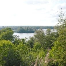
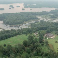
Möckeln is a lake on the Småland lake plateau, 16 km long from north to south and up to 7 km wide in the north, narrowing to 1–1.5 km in the south and middle. It lies 136 m above sea level, reaches 12 m deep and covers 46.1 km². Its shores are mostly stony and wooded, with islands such as Höö, Lång and Marsholm and peninsulas Bölsö and Möckelsnäs.
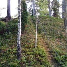
Möckeln lies in a fault zone of the Protogin zone, where bands of hyperite diabase run north to south and rise as hills such as Taxås klint and Ramsåshuvud. In the 1850s the lake was lowered by about two metres, from roughly 138 to 136 metres above sea level; the 1847 map of the lowering company records the work. Local lore holds that a southern outlet, Häradsdiket, vanished with the lowering, though no such outlet appears on that map.
Local fishing traditions center on numerous species including pike, perch, pikeperch, and the rare Swedish catfish population, one of only four in the country.
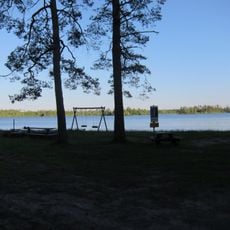
The lake is not regulated, so its level can swing about a metre above or below the mean line (137 to 135 m) with rainfall and inflow. The shores are mostly stony and blocky, with sandy stretches only where eskers reach the water, as at Sikareveln below Taxås klint. The main outlet lies at Älvanäs and Byvärma in the northwest.
The catfish, Sweden's largest freshwater fish, has one of its four Swedish populations here, concentrated around the Agunnarydsån outlet in the northwest. It is protected and must be released at once if caught. The heaviest documented specimen, taken in 1994, weighed 52 kg.
The community of curious travelers
AroundUs brings together thousands of curated places, local tips, and hidden gems, enriched daily by 94,309 contributors worldwide.