
Lekaryd 68:1, röse i Småland
Location: Alvesta Municipality
GPS coordinates: 56.92029,14.61456
Latest update: March 3, 2025 13:53
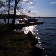
Helgasjön
8.3 km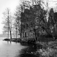
Bergkvara Castle Ruins
8.9 km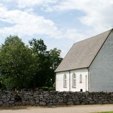
Lekaryd
2.6 km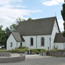
Öjaby Church
7.8 km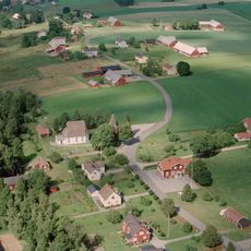
Härlöv
5.3 km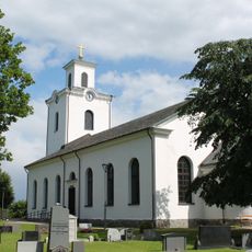
Öja Church
7.8 km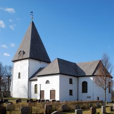
Bergunda Church
10.4 km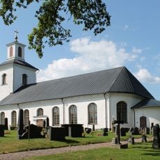
Hjortsberga Church
8.2 km
Blädinge Church
9.5 km
Alvesta köping
4.5 km
Sankt Sigfrids kapell, Växjö
10.8 km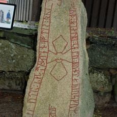
Sm 1
3.6 km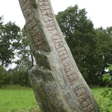
Transjö stone
7.3 km
Kvenneberga kapell
6.7 km
Skogskyrkan, Alvesta
2.9 km
Lantbruksmuseet Hjärtenholm
3.5 km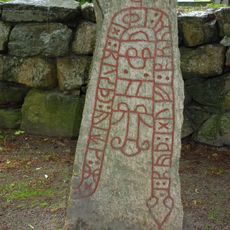
Sm 3
3.6 km
Naturreservatet Kronoberg
10.3 km
Allbo tingslag
4.3 km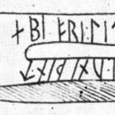
Sm 2
3.6 km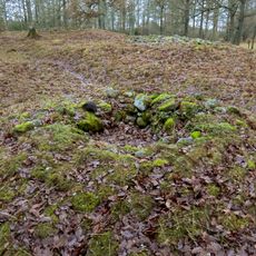
Aringsås 47:1
2.2 km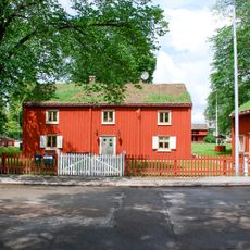
Riksdagsmannagården
4.5 km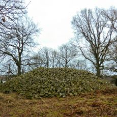
Kongshögen/Kongsgraven
4.8 km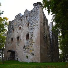
Bergunda 32:1
8.9 km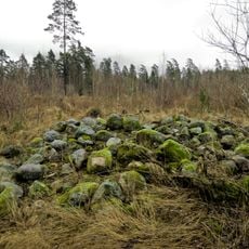
Aringsås 49:1
2.4 km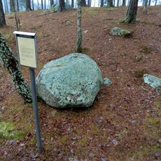
Moheda 116:1
10.1 km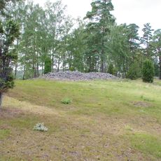
Öjaby 50:1
7.3 km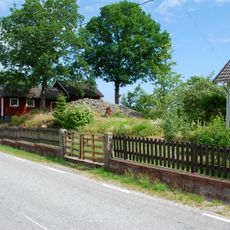
Blädinge 37:1
9.9 kmReviews
Visited this place? Tap the stars to rate it and share your experience / photos with the community! Try now! You can cancel it anytime.
Discover hidden gems everywhere you go!
From secret cafés to breathtaking viewpoints, skip the crowded tourist spots and find places that match your style. Our app makes it easy with voice search, smart filtering, route optimization, and insider tips from travelers worldwide. Download now for the complete mobile experience.

A unique approach to discovering new places❞
— Le Figaro
All the places worth exploring❞
— France Info
A tailor-made excursion in just a few clicks❞
— 20 Minutes