
Lapptallen, ristning, medeltid/historisk tid i Norrbotten (Edefors 41:2)
Location: Boden Municipality
GPS coordinates: 66.21987,20.85266
Latest update: August 18, 2025 12:19
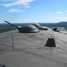
Boden Fortress
60 km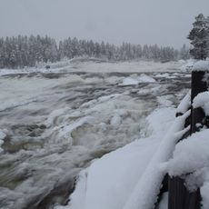
Storforsen
45.6 km
Boden Municipality
56.6 km
Boden Garrison
56.7 km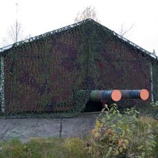
Victoria Fort
24.5 km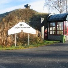
RFN museum
50 km
Vuollerimboplatsen
27.8 km
Vuollerim 6000 Natur och Kultur
26.4 km
Nordpoolen
58.4 km
Försvarsmuseum Boden
59.4 km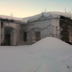
Boden Fortress Radio Bunker
55 km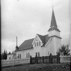
Pålkems kyrka
38.7 km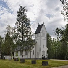
Puottaure Church
28.1 km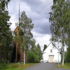
Gunnarsbyns kyrka
45.3 km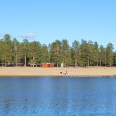
Aldersjön
60.1 km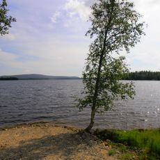
Storsaivis
53 km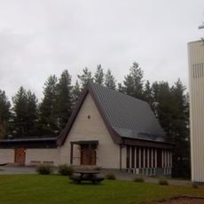
Church of Vidsel
45.5 km
Svedjebron
59.5 km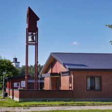
Rörvikskyrkan
57.7 km
Serri
50 km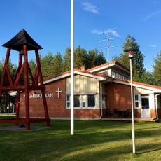
Mikaelskyrkan, Boden
56.2 km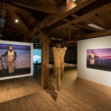
Oats Warehouse County Hall of Arts
56.9 km
Tjappesvare
41.3 km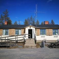
Fästningsguiden i Norr AB
60 km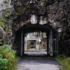
Rödbergsfortet
60 km
Public beach Aldersjön
60.1 km
Överluleå 54:1
58.1 km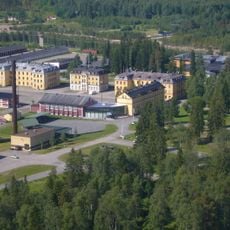
Försvarsmuseum Boden
59.4 kmReviews
Visited this place? Tap the stars to rate it and share your experience / photos with the community! Try now! You can cancel it anytime.
Discover hidden gems everywhere you go!
From secret cafés to breathtaking viewpoints, skip the crowded tourist spots and find places that match your style. Our app makes it easy with voice search, smart filtering, route optimization, and insider tips from travelers worldwide. Download now for the complete mobile experience.

A unique approach to discovering new places❞
— Le Figaro
All the places worth exploring❞
— France Info
A tailor-made excursion in just a few clicks❞
— 20 Minutes