Karl Gustav 99:1, ristning, medeltid/historisk tid i Norrbotten
Location: Haparanda Municipality
GPS coordinates: 66.14957,23.92786
Latest update: October 26, 2025 20:32
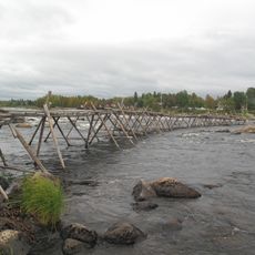
Kukkola Rapids
21.6 km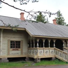
Imperial lodge
29.1 km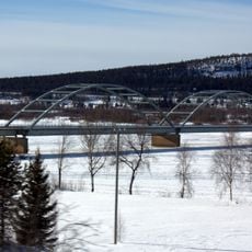
Aavasaksa Bridge
27.7 km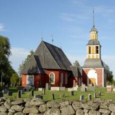
Hietaniemi Church
12.2 km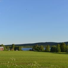
Armasjärvi
26.8 km
Aavasaksa Kruununpuisto park tourism buildings
29.1 km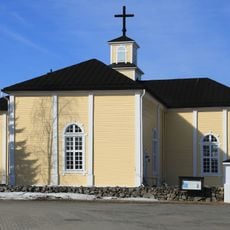
Karunki Church
12.8 km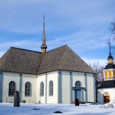
Karl Gustavs kyrka, Norrbotten
11.7 km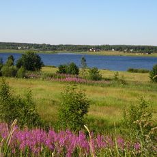
Konsthall Tornedalen
7.7 km
Perävaara
14.6 km
Tornedalens Fiskemuseum
21.1 km
Kannala
10.6 km
Isovaara
28.6 km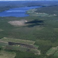
Armasjärvimyren
23.4 km
Prinsristningen
199 m
Karl Gustav 271:1
22.8 km
Isokivi (bato sa Finlandia, Lappi)
23.1 km
Nedertorneå 343:1
23.7 km
Ritaniemi
21.7 km
Karl Gustav 60:2
26.1 km
Karl Gustav 266:1
21.3 km
Nedertorneå 346:1
26.9 km
Nedertorneå 346:2
27 km
Karl Gustav 60:1
26.1 km
Lauttamies
21.4 km
Obelisken
28.8 km
Scenic viewpoint
28.9 km
Scenic viewpoint, tower, Observation tower
23.2 kmReviews
Visited this place? Tap the stars to rate it and share your experience / photos with the community! Try now! You can cancel it anytime.
Discover hidden gems everywhere you go!
From secret cafés to breathtaking viewpoints, skip the crowded tourist spots and find places that match your style. Our app makes it easy with voice search, smart filtering, route optimization, and insider tips from travelers worldwide. Download now for the complete mobile experience.

A unique approach to discovering new places❞
— Le Figaro
All the places worth exploring❞
— France Info
A tailor-made excursion in just a few clicks❞
— 20 Minutes