
Tossene 951:1, hällristning i Bohuslän
Location: Sotenäs Municipality
GPS coordinates: 58.45620,11.43163
Latest update: April 9, 2025 18:07
Gemeinde Sotenäs
7.2 km
Nordens Ark
1.7 km
Gerlesborg School of Fine Art
6.4 km
Olsborg Castle
5.3 km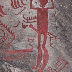
Backa petroglyph area
6.9 km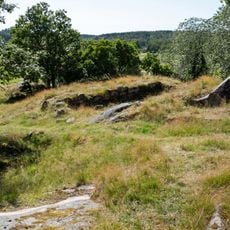
Röe Castle
4.5 km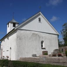
Bottna Church
6.2 km
Vrångstad long dolmen
7.1 km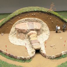
Passage grave of Hagan
7.4 km
Tossene kommun
3.6 km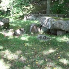
Ganggrab von Åby
1 km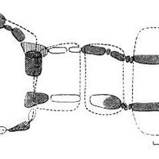
Svenneby 137:1
7.2 km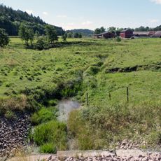
Broälven Nature Reserve
4.3 km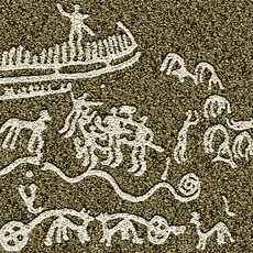
Askum 2:1
6 km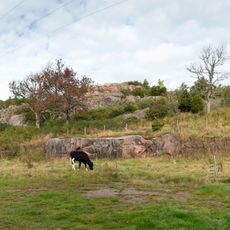
Broberg fortification
5.2 km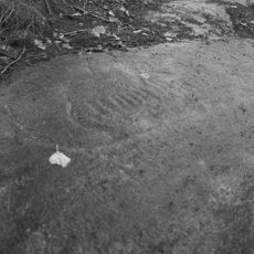
Svenneby 65:1
7.3 km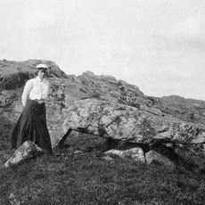
Svenneby 138:1
7.2 km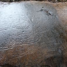
Svenneby 64:2
7.3 km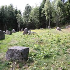
Bottna 140:1
7.3 km
Bottna 141:1
7.1 km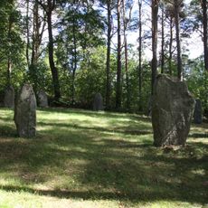
Bottna 173:1
6 km
Svenneby 134:1
7.3 km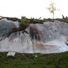
Tossene 58:5
3.4 km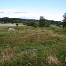
Batterihögarna
3.5 km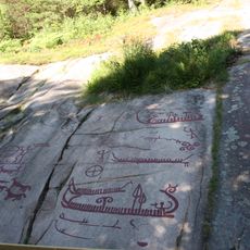
Åbyhällen
1.6 km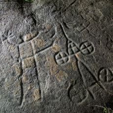
Tossene 79:1
5.6 km
Vrångebäck public beach
3.2 km
Skomakaren
6.9 kmReviews
Visited this place? Tap the stars to rate it and share your experience / photos with the community! Try now! You can cancel it anytime.
Discover hidden gems everywhere you go!
From secret cafés to breathtaking viewpoints, skip the crowded tourist spots and find places that match your style. Our app makes it easy with voice search, smart filtering, route optimization, and insider tips from travelers worldwide. Download now for the complete mobile experience.

A unique approach to discovering new places❞
— Le Figaro
All the places worth exploring❞
— France Info
A tailor-made excursion in just a few clicks❞
— 20 Minutes