
Ise sten, building in Svenljunga Municipality, Västra Götaland County, Sweden
Location: Svenljunga Municipality
GPS coordinates: 57.30186,13.20960
Latest update: September 25, 2025 06:17

Anderstorp Raceway
23.9 km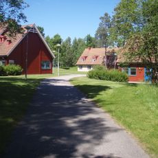
Gemeinde Svenljunga
21.2 km
Gemeinde Tranemo
25.8 km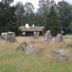
Smålandsstenar stone circles
19.6 km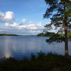
Fegen
14.2 km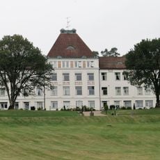
Fagereds sanatorium
27.2 km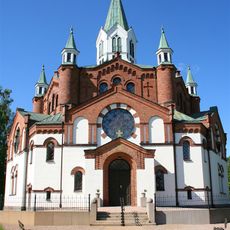
Tranemo Church
22.3 km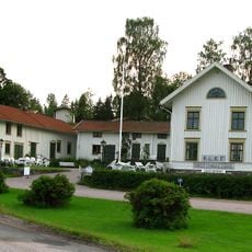
Klevs gästgiveri
14.6 km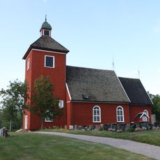
Mossebo Church
21.9 km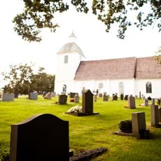
Burseryds kyrka
11.4 km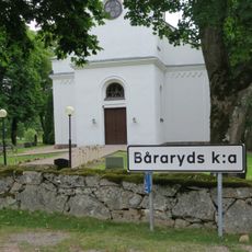
Båraryd Church
19.6 km
Öxabäck Church
26.1 km
Bosebo Church
9.5 km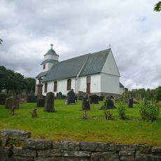
Gunnarps kyrka
23.7 km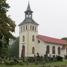
Mårdaklevs kyrka
13.8 km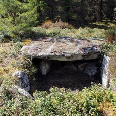
Steinkiste von Horshaga
16.5 km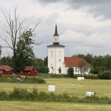
Redslared Church
24.9 km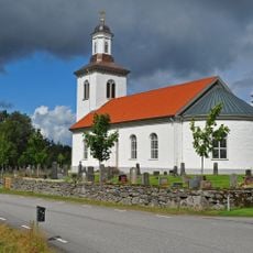
Örsås Church
16.5 km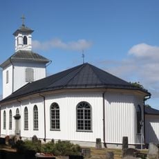
Sjötofta Church
7.2 km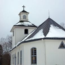
Håcksvik Church
4.3 km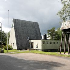
Överlida Church
19.3 km
Fegen (naturreservat, Västra Götalands län)
10.6 km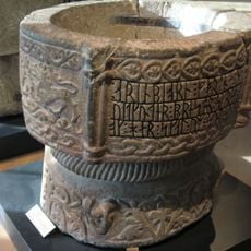
Sm 50 M
11.4 km
Anderstorps Stormosse
23.9 km
Fegen
13.7 km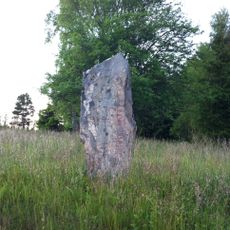
Tranemo 3:1
19.9 km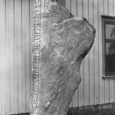
Västergötlands runinskrifter 194
23.2 km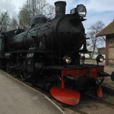
Landeryds Järnvägsmuseum
25.3 kmReviews
Visited this place? Tap the stars to rate it and share your experience / photos with the community! Try now! You can cancel it anytime.
Discover hidden gems everywhere you go!
From secret cafés to breathtaking viewpoints, skip the crowded tourist spots and find places that match your style. Our app makes it easy with voice search, smart filtering, route optimization, and insider tips from travelers worldwide. Download now for the complete mobile experience.

A unique approach to discovering new places❞
— Le Figaro
All the places worth exploring❞
— France Info
A tailor-made excursion in just a few clicks❞
— 20 Minutes