
Fristad 33:1, röse i Västergötland
Location: Borås Municipality
GPS coordinates: 57.84843,13.03204
Latest update: September 14, 2025 05:04
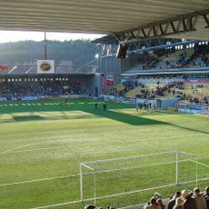
Borås Arena
13.9 km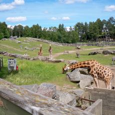
Borås djurpark
12.9 km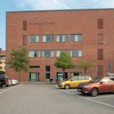
University of Borås
14.8 km
Textile Museum of Borås
14.8 km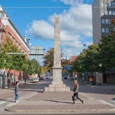
Obelisken i Borås
14.9 km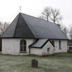
Borgstena Church
3.6 km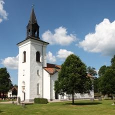
Tämta Church
9.6 km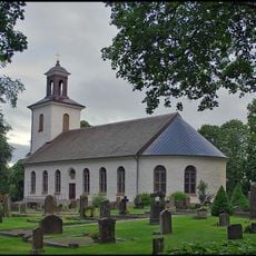
Fristad Church
3.1 km
Fristad hed
2.9 km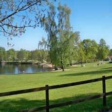
Almenäs, public beach
11.1 km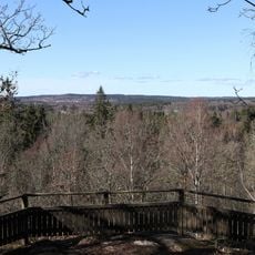
Kröklings hage
5 km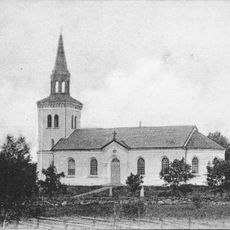
Fänneslunda socken
7.6 km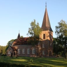
Vänga Church
6.1 km
Textilmuseet
14.8 km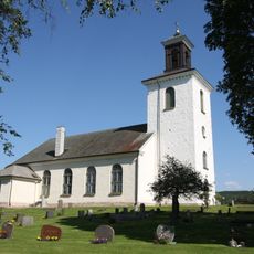
Rångedala Church
8.4 km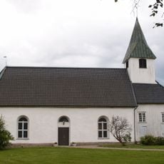
Varnums kyrka
7.1 km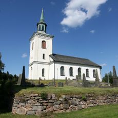
Äspered Church
13.7 km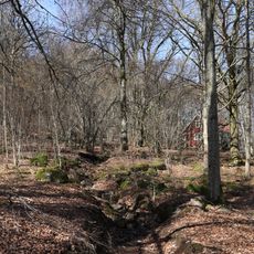
Sundholmen
14.9 km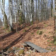
Molla bokskog
7.5 km
Hässleholmen Church
13.5 km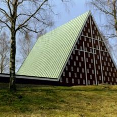
Sjöbo Church
12.3 km
Catafalque
14.8 km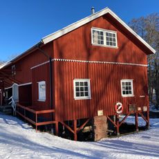
Mölarp
4.6 km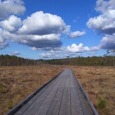
Vänga mosse
5.9 km
Tränningen
14.7 km
Fänneslunda old Church
7.3 km
Vg 167 Södra Vings kyrkogård
14.8 km
Västergötlands runinskrifter 168
14.7 kmReviews
Visited this place? Tap the stars to rate it and share your experience / photos with the community! Try now! You can cancel it anytime.
Discover hidden gems everywhere you go!
From secret cafés to breathtaking viewpoints, skip the crowded tourist spots and find places that match your style. Our app makes it easy with voice search, smart filtering, route optimization, and insider tips from travelers worldwide. Download now for the complete mobile experience.

A unique approach to discovering new places❞
— Le Figaro
All the places worth exploring❞
— France Info
A tailor-made excursion in just a few clicks❞
— 20 Minutes