
Holm 116:1, stone setting in Mellerud Municipality, Västra Götaland County, Sweden
Location: Mellerud Municipality
GPS coordinates: 58.75750,12.42770
Latest update: June 12, 2025 20:07
Dalsland Canal
10.4 km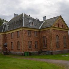
Gemeinde Mellerud
5.1 km
Sörknatten
16.8 km
Kroppefjäll
18.9 km
Hjortens udde
19.1 km
Dalaborg
20 km
Skålleruds kyrka
2.6 km
Ekholmens herrgård
4.5 km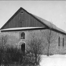
Sundals-Ryrs gamla kyrka
23.4 km
Dalsland art museum
5.5 km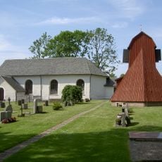
Holms kyrka, Dalsland
5.5 km
Alltorps tingshus och häradshäkte
18.3 km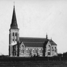
Sundals-Ryr Church
23.3 km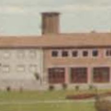
Melleruds köping
6.6 km
Kung Kåres hög
19.5 km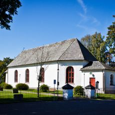
Gunnarsnäs Church
4.4 km
Yttre Bodane
10.6 km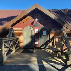
Kanalmuseet
7.2 km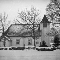
Råggärds kyrka
22.8 km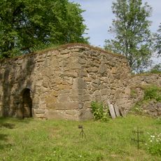
Erikstads kyrkoruin
16.4 km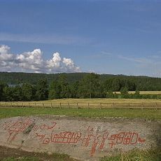
Tisselskog Högsbyn
15.1 km
Nordals och Sundals tingslag
6.6 km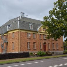
Nordals, Sundals och Valbo tingslag
6.6 km
Vedbo tingslag
18.6 km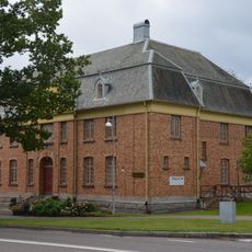
Nordals, Sundals och Valbo domsaga
6.6 km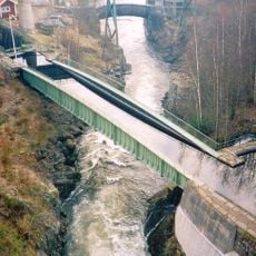
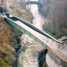
Akvedukten i Håverud
7.2 km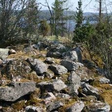
Slottskullen
21.2 km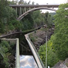
Kanalmuseet
7.2 kmReviews
Visited this place? Tap the stars to rate it and share your experience / photos with the community! Try now! You can cancel it anytime.
Discover hidden gems everywhere you go!
From secret cafés to breathtaking viewpoints, skip the crowded tourist spots and find places that match your style. Our app makes it easy with voice search, smart filtering, route optimization, and insider tips from travelers worldwide. Download now for the complete mobile experience.

A unique approach to discovering new places❞
— Le Figaro
All the places worth exploring❞
— France Info
A tailor-made excursion in just a few clicks❞
— 20 Minutes