
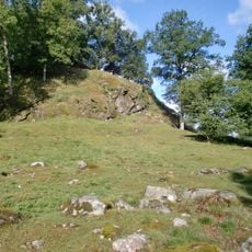
Mjöbäck 8:1, röse i Västergötland
Location: Svenljunga Municipality
GPS coordinates: 57.30179,12.85562
Latest update: May 31, 2025 17:43
Örestens fästning
22.5 km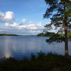
Fegen
22.5 km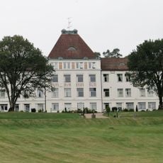
Fagereds sanatorium
12.2 km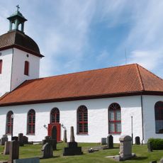
Horred Church
24.2 km
Klevs gästgiveri
9.3 km
Örby Church
22.2 km
Öxabäck Church
10.7 km
Gunnarps kyrka
17.8 km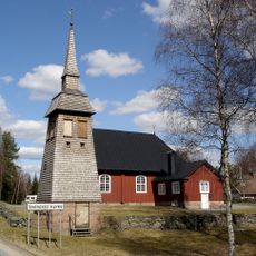
Svenasjö kapell
20.2 km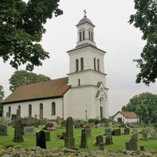
Gällared Church
23 km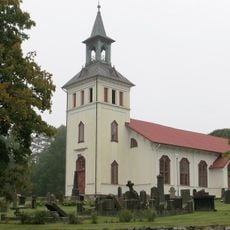
Mårdaklevs kyrka
9.6 km
Istorp Church
21.8 km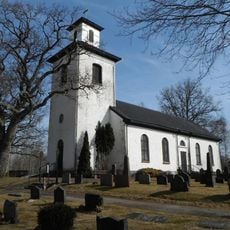
Källsjö Church
15.2 km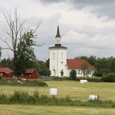
Redslared Church
22.9 km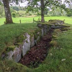
Steinkiste von Hulta
14.2 km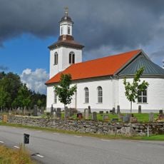
Örsås Church
22.5 km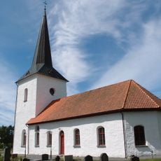
Öxnevalla Church
19.8 km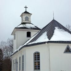
Håcksvik Church
17.3 km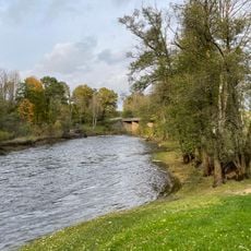
Lekvad
23.6 km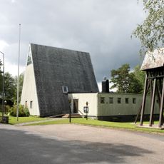
Överlida Church
6 km
Fegen (naturreservat, Västra Götalands län)
20.1 km
Marks tingslag
24.2 km
Gäddevik
19.1 km
Hyltenäs kulle
18.9 km
Marks domsaga
24.2 km
Fegen
22.7 km
Kungsäter 14:1
17.2 km
Musasjön, public beach
20.7 kmReviews
Visited this place? Tap the stars to rate it and share your experience / photos with the community! Try now! You can cancel it anytime.
Discover hidden gems everywhere you go!
From secret cafés to breathtaking viewpoints, skip the crowded tourist spots and find places that match your style. Our app makes it easy with voice search, smart filtering, route optimization, and insider tips from travelers worldwide. Download now for the complete mobile experience.

A unique approach to discovering new places❞
— Le Figaro
All the places worth exploring❞
— France Info
A tailor-made excursion in just a few clicks❞
— 20 Minutes