
Starrkärr 101:2, hällristning i Västergötland
Location: Ale Municipality
GPS coordinates: 57.93486,12.11619
Latest update: September 16, 2025 19:04
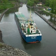
Trollhätte Canal
7.3 km
Ale vikingagård
1.7 km
Svartedalens natur- och friluftsområde
9.3 km
Lysegården
5.1 km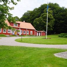
Alvhems kungsgård
8.1 km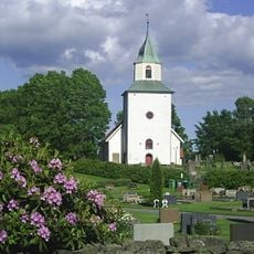
Skepplanda Church
8.1 km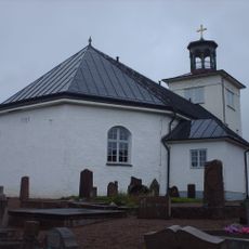
Nödinge Church
6 km
Fontin
9.5 km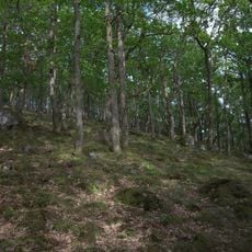
Marieberg
7.9 km
Hultasjön, Ale Municipality
7.5 km
Romelanda Church
5.6 km
Mariebergs gård
7.1 km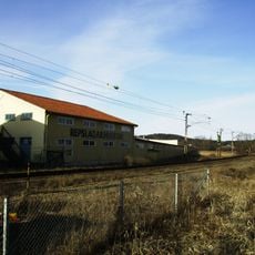
P. A. Carlmarks repslageri
3.1 km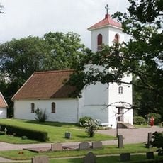
Kilanda Church
6.1 km
Norrmannebo kapell
5.3 km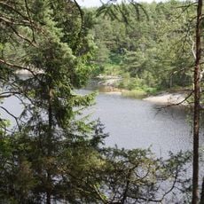
Risveden etapp 2 (Kroksjön)
10.3 km
Strandska huset
10.5 km
Thorildska huset
10.6 km
Dösebackaplatån
5.1 km
Ramstorp Jätteberget
7.7 km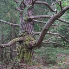
Iglekärrs naturreservat
9.9 km
Sålanda and Ryk
8.7 km
Skönningared
4.6 km
Nödinge kommun
6.3 km
Rished
1.8 km
Ale tingslag
2.1 km
Hultasjön, public beach
7.5 km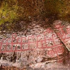
Skepplanda 20:1
7.3 kmReviews
Visited this place? Tap the stars to rate it and share your experience / photos with the community! Try now! You can cancel it anytime.
Discover hidden gems everywhere you go!
From secret cafés to breathtaking viewpoints, skip the crowded tourist spots and find places that match your style. Our app makes it easy with voice search, smart filtering, route optimization, and insider tips from travelers worldwide. Download now for the complete mobile experience.

A unique approach to discovering new places❞
— Le Figaro
All the places worth exploring❞
— France Info
A tailor-made excursion in just a few clicks❞
— 20 Minutes