Svartedalens natur- och friluftsområde, Nature reserve in Kungälv Municipality, Sweden.
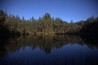
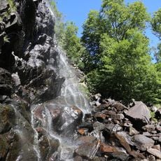
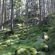
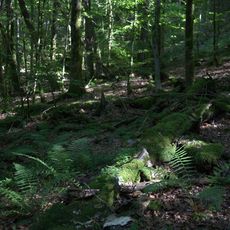
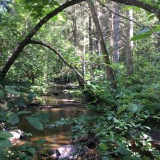
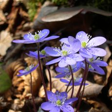
Svartedalens natur- och friluftsområde is a nature reserve spanning multiple municipalities, defined by expansive coniferous forests, numerous lakes, and varied rock formations. The terrain provides diverse walking routes and natural features to explore.
The Swedish government designated this area as a protected nature reserve in 1982 to preserve it while allowing public access. This decision established formal management and conservation practices that continue today.
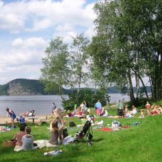
Mushroom and berry picking remain common activities that connect visitors to regional traditions and the rhythm of the seasons. Fishing also continues as a valued practice that locals and guests share within these forests.
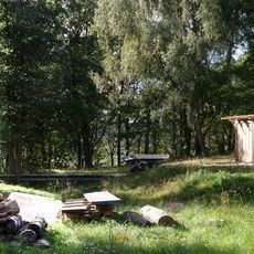
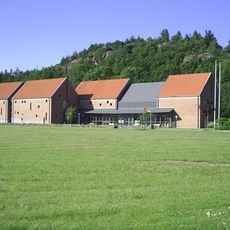
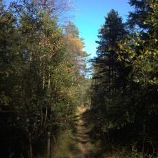
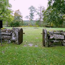
Four marked hiking trails between 2.5 and 7 kilometers start from the cabin at eastern Ålevattnet, with picnic areas and fireplaces positioned along the routes. Visitors should prepare for changing weather and wear sturdy footwear, as paths cross through forests and over rocky terrain.
The Bohusleden trail passes through the reserve from north to south, connecting different regions of Sweden as part of a larger long-distance walking network. This route allows hikers to traverse varied landscapes over extended journeys through interconnected natural areas.
The community of curious travelers
AroundUs brings together thousands of curated places, local tips, and hidden gems, enriched daily by 60,000 contributors worldwide.