
Kvinnestad 70:1, hällristning i Västergötland
Location: Vårgårda Municipality
GPS coordinates: 58.03180,12.94008
Latest update: March 30, 2025 05:23
PUAS bowling
6.3 km
Galgbacken, Vårgårda
7.3 km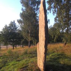
Nycklabacken
5.6 km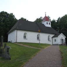
Kvinnestad Church
4.5 km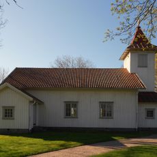
Bråttensby Church
3.6 km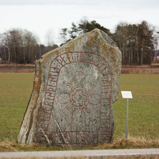
Västergötlands runinskrifter 152
6.3 km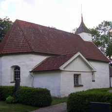
Fölene Church
6.2 km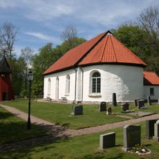
Södra Björke Church
6.6 km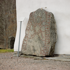
Västergötlands runinskrifter 151
6.8 km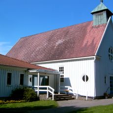
Asklanda-Ornunga missionskyrka
5.1 km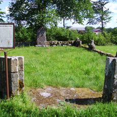
Tarsleds kyrkoruin
5.4 km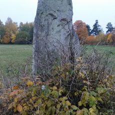
Tumberg 30:1
7.4 km
Fölene 3:1
6.2 km
Fölene 3:2
6.2 km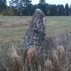
Tumberg 29:5
7.4 km
Kullings-Skövde 11:1
7.5 km
Tumberg 29:2
7.4 km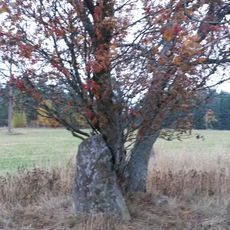
Tumberg 29:3
7.4 km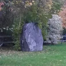
Kullings-Skövde 22:1
7.5 km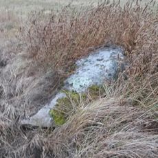
Tumberg 29:4
7.4 km
Tumberg 47:1
7.3 km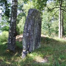
Tuppastenen
6.2 km
Tumberg 25:1
7.1 km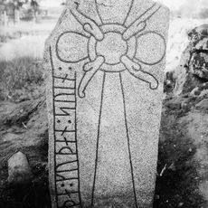
Runristning Vg 156 Remmene kyrkogård
3.5 km
Tumberg 29:1
7.4 km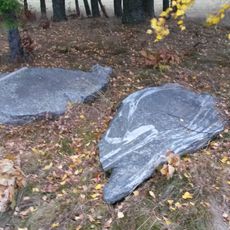
Tumberg 28:1
7.3 km
Galgbacken
7.3 km
Public beach Kvinnestadssjön
4.7 kmReviews
Visited this place? Tap the stars to rate it and share your experience / photos with the community! Try now! You can cancel it anytime.
Discover hidden gems everywhere you go!
From secret cafés to breathtaking viewpoints, skip the crowded tourist spots and find places that match your style. Our app makes it easy with voice search, smart filtering, route optimization, and insider tips from travelers worldwide. Download now for the complete mobile experience.

A unique approach to discovering new places❞
— Le Figaro
All the places worth exploring❞
— France Info
A tailor-made excursion in just a few clicks❞
— 20 Minutes