
Nittorp 22:4, röse i Västergötland
Location: Tranemo Municipality
GPS coordinates: 57.57461,13.49759
Latest update: March 21, 2025 09:34
Torpa stenhus
15.5 km
Gemeinde Tranemo
9.2 km
Opensten
8.6 km
Tranemo Church
13.2 km
Glasets hus
9.6 km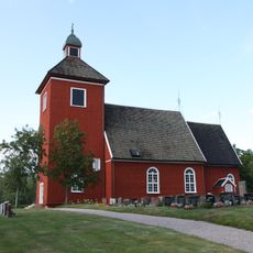
Mossebo Church
14.5 km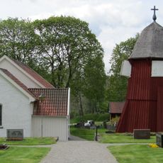
Södra Åsarps kyrka
7.3 km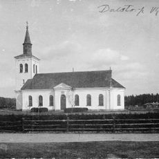
Dalstorp Church
4.2 km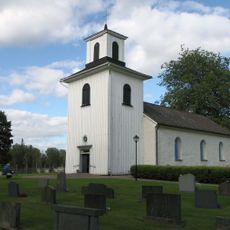
Finnekumla Church
12.7 km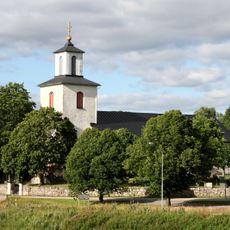
Gällstads och Södra Säms kyrka
10.8 km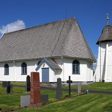
Norra Unnaryd Church
13 km
Norra Hestra Church
16.1 km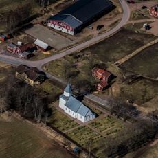
Öreryds kyrka
14.2 km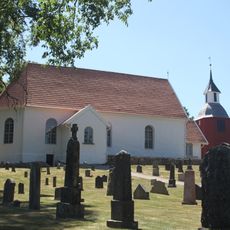
Månstad Church
9.5 km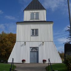
Grönahög Church
11.6 km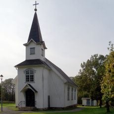
Påbo kapell
15.6 km
Ölsremma Church
8.9 km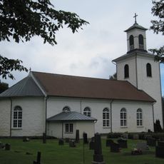
Nittorp Church
2.6 km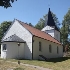
Hulared Church
4.6 km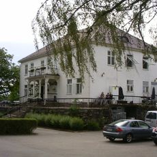
Hofsnäs
13.7 km
Grimsås Church
10.5 km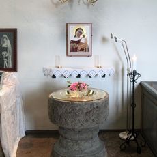
Finnekumla kirkes døpefont
12.7 km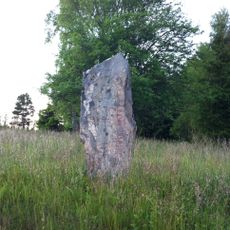
Tranemo 3:1
16.6 km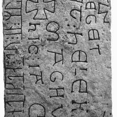
Smålands runinskrifter 115
14.2 km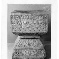
Gällstads kyrkas gamla dopfunt
10.8 km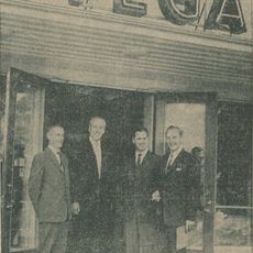
Vega
13.7 km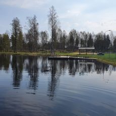
Public beach Köttkullasjön
14.4 km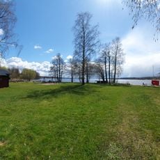
Vegby, public beach
13.4 kmReviews
Visited this place? Tap the stars to rate it and share your experience / photos with the community! Try now! You can cancel it anytime.
Discover hidden gems everywhere you go!
From secret cafés to breathtaking viewpoints, skip the crowded tourist spots and find places that match your style. Our app makes it easy with voice search, smart filtering, route optimization, and insider tips from travelers worldwide. Download now for the complete mobile experience.

A unique approach to discovering new places❞
— Le Figaro
All the places worth exploring❞
— France Info
A tailor-made excursion in just a few clicks❞
— 20 Minutes