Vänersborg 2:1, hällristning i Västergötland
Location: Vänersborg Municipality
GPS coordinates: 58.35069,12.32131
Latest update: November 23, 2025 02:39
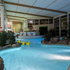
Vattenpalatset
2.8 km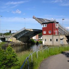
Gropbron
1.6 km
Vänerskolan
2.6 km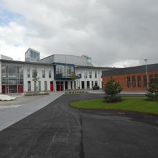
Torpaskolan
1.9 km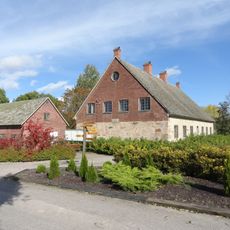
Onsjö stenhus
1.9 km
Holzhausens park
2.7 km
Nygårdsängen
1.6 km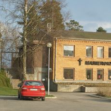
Marierokyrkan
2.2 km
Vänersborgs domsagas tingslag
1.6 km
Brätte kyrkogård
1.5 km
Ask på fastigheten Torpa 1:2
2.5 km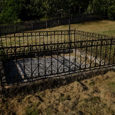
Vassända kyrkogård
604 m
Vänersborg 97:1
761 m
Vassända kyrkoruin
589 m
Vänersborg 85:1
1.9 km
Vänersborg 25:1
809 m
Vänersborg 84:3
1.8 km
Vänersborg 85:2
1.9 km
Vänersborg 84:1
1.8 km
Vänersborg 2:2
15 m
Onsjö Krog
1.6 km
Hermanstorp
956 m
Vänersborg 108:1
1.8 km
Vänersborg 150
2 km
Vänersborg 84:2
1.8 km
Vänersborg 108:2
1.8 km
Vänersborg 84:4
1.8 km
Sundsberget
2.6 kmReviews
Visited this place? Tap the stars to rate it and share your experience / photos with the community! Try now! You can cancel it anytime.
Discover hidden gems everywhere you go!
From secret cafés to breathtaking viewpoints, skip the crowded tourist spots and find places that match your style. Our app makes it easy with voice search, smart filtering, route optimization, and insider tips from travelers worldwide. Download now for the complete mobile experience.

A unique approach to discovering new places❞
— Le Figaro
All the places worth exploring❞
— France Info
A tailor-made excursion in just a few clicks❞
— 20 Minutes