
Vänersnäs 113:1, hällristning i Västergötland
Location: Vänersborg Municipality
GPS coordinates: 58.38194,12.52565
Latest update: March 22, 2025 12:45
Hunneberg
7 km
Nossan
6.3 km
Forstena
11 km
Rånnum
8.7 km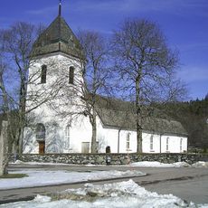
Västra Tunhems kyrka
10.8 km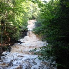
Halle-Hunnebergs rasbranter
6.2 km
Hästevads stenar
7.2 km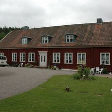
Västra Tunhems prästgård
11 km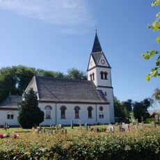
Flo Church
5.8 km
Vargöns kyrka
7.5 km
Bergsjön, Västra Tunhems socken, Västergötland
9.2 km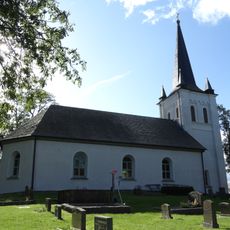
Vänersnäs Church
2.9 km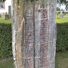
Runenstein von Sal
6.6 km
Tunhems ekhagar
11.3 km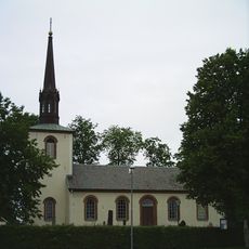
Sals kyrka
6.6 km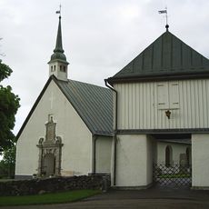
Norra Björke Church
10.8 km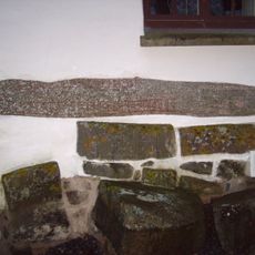
Runenstein an der Ås kyrka
7.9 km
Västergötlands runinskrifter 114
11.3 km
Västergötlands runinskrifter 113
11.4 km
Halle- Hunnebergs platåer
6.7 km
Grinnsjö domänreservat
9.6 km
Marierokyrkan
10.4 km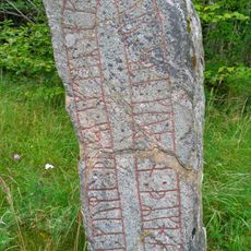
Västergötlands runinskrifter 101
6.6 km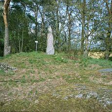
Västergötlands runinskrifter 115
10.9 km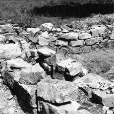
Hallby kyrkoruin
706 m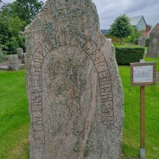
Västergötlands runinskrifter 100
5.8 km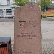
Åse and Viste district
10.6 km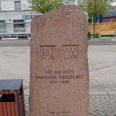
Viste district court
10.6 kmReviews
Visited this place? Tap the stars to rate it and share your experience / photos with the community! Try now! You can cancel it anytime.
Discover hidden gems everywhere you go!
From secret cafés to breathtaking viewpoints, skip the crowded tourist spots and find places that match your style. Our app makes it easy with voice search, smart filtering, route optimization, and insider tips from travelers worldwide. Download now for the complete mobile experience.

A unique approach to discovering new places❞
— Le Figaro
All the places worth exploring❞
— France Info
A tailor-made excursion in just a few clicks❞
— 20 Minutes