Hunneberg, Mountain nature reserve in Vänersborg, Sweden.
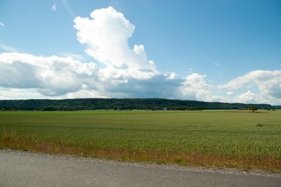
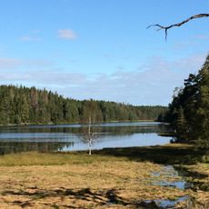
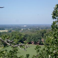
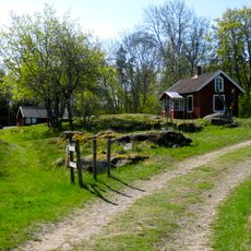
Hunneberg is a table mountain with two connected plateaus rising above the Västergötland plains, featuring mixed forests and sloping terrain throughout. The mountain contains approximately 70 kilometers of marked hiking paths that wind through pine forests, deciduous woodlands, and open areas.
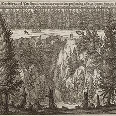
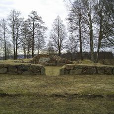
The mountain formed hundreds of millions of years ago when rock layers accumulated on the floor of ancient seas, creating thick strata of sedimentary stone. Later, tectonic movements and erosion exposed these layers, carving out the distinctive table mountain shape we see today.
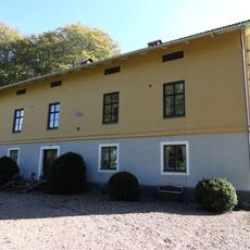
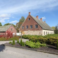
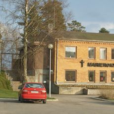
The Kungajaktmuseet museum showcases how royal moose hunting shaped the region's traditions, with exhibitions displaying weapons, hunting gear, and stories passed down through generations.
The trails can be accessed from several entry points, including Flo on the eastern side and Vargön or Tunhem from other directions. Visitors should wear proper hiking boots and bring waterproof layers, as weather changes quickly in this exposed terrain.
The mountain is a crucial refuge for moose that roam the area daily, becoming especially active during early morning and evening hours. Patient observation from quiet spots offers visitors chances to witness these large animals moving through their natural habitat.
The community of curious travelers
AroundUs brings together thousands of curated places, local tips, and hidden gems, enriched daily by 60,000 contributors worldwide.