
Odensåker 20:2, hällristning i Västergötland
Location: Mariestad Municipality
GPS coordinates: 58.53143,13.87330
Latest update: July 15, 2025 03:33
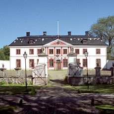
Stora Ek Manor
9.9 km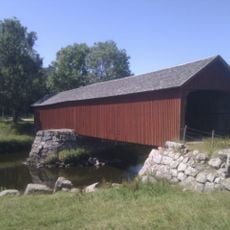
Vaholms bro
9.6 km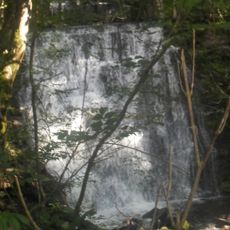
Silverfallet
8.7 km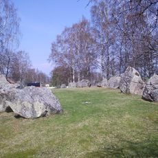
Askeberga stone ship
8.1 km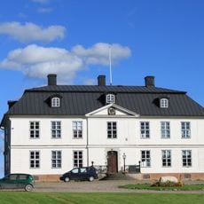
Sveneby herrgård
8.1 km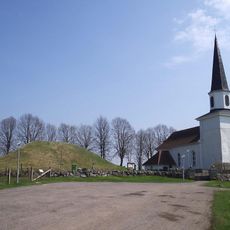
Kung Ranes hög
5.8 km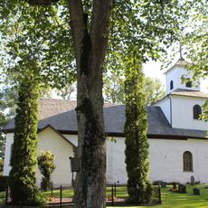
Säters kyrka, Västergötland
7.3 km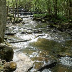
Silverfallet-Karlsfors
8.1 km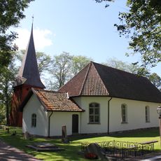
Vads kyrka
9.3 km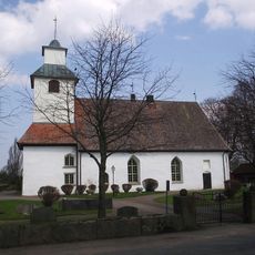
Götlunda Church
7.8 km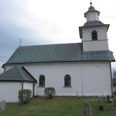
Låstad
5 km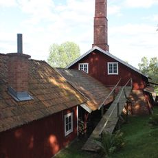
Horns tegelbruk
2.3 km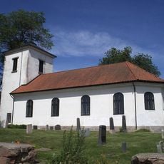
Eks kyrka
9.9 km
Värings kyrka
5.9 km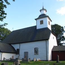
Lerdala Church
10.9 km
Binnebergs tingshus
1.3 km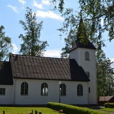
Brännemo Church
11.2 km
Frösve Church
3.3 km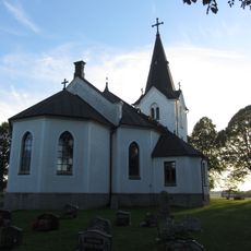
Ekby
9.1 km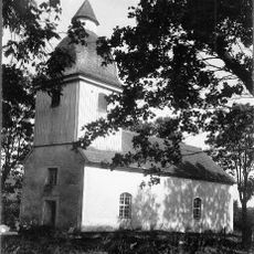
Binneberg Church
1.3 km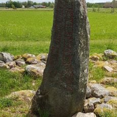
Vg 7 Sörgården, Vallby
7 km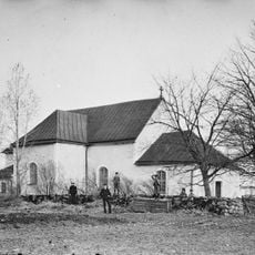
Sveneby Church
8.3 km
Odensåkers klockarbol
2.6 km
Binnebergs tingslag
1.3 km
Långenbadet
7.7 km
Rane Stenar
8.1 km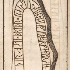
Västergötlands runinskrifter 16
7.1 km
Bergs kyrka
6.8 kmReviews
Visited this place? Tap the stars to rate it and share your experience / photos with the community! Try now! You can cancel it anytime.
Discover hidden gems everywhere you go!
From secret cafés to breathtaking viewpoints, skip the crowded tourist spots and find places that match your style. Our app makes it easy with voice search, smart filtering, route optimization, and insider tips from travelers worldwide. Download now for the complete mobile experience.

A unique approach to discovering new places❞
— Le Figaro
All the places worth exploring❞
— France Info
A tailor-made excursion in just a few clicks❞
— 20 Minutes