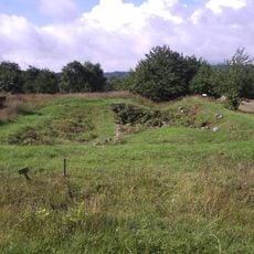
Tiarp 21:1, stenkrets i Västergötland
Location: Falköping Municipality
GPS coordinates: 58.19539,13.72715
Latest update: October 26, 2025 08:40
Lenaborg
5.6 km
Kungslena kungsgård
5.7 km
Franciskuskapellet
4.2 km
Kleven
793 m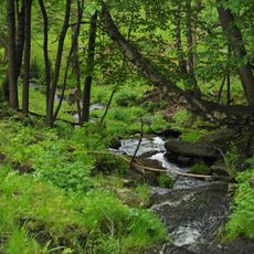
Djupadalen, Karleby
5.7 km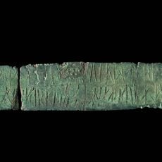
Västergötlands runinskrifter 216
4.2 km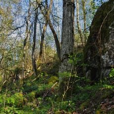
Fårdala
1.2 km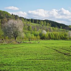
Mularpabäckens dalgång
3.1 km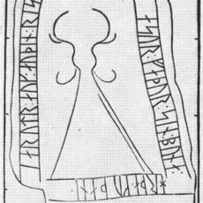
Västergötlands runic inscription 92
4.2 km
Åsle 72:1
861 m
Åsle tå
3 km
Karleby 86:1
5.5 km
Karleby 121:1
5 km
Karleby 133:1
5.4 km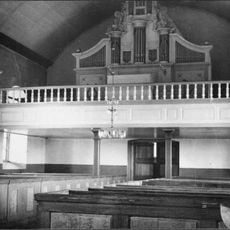
Röks gamla kyrka orgel by Jonas Wistenius
4.9 km
Dimbo 37:1
5.3 km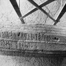
Västergötlands runinskrifter 91
4.1 km
Södra Kyrketorp 14:1
5.1 km
Varv 25:1
5.8 km
Högstena 19:2
3.8 km
Karleby 143:1
5.8 km
Mularp 22:1
4.2 km
Kungslena 53:1
5.6 km
Karleby 134:1
5.3 km
Karleby 105:1
5.6 km
Högstena 4:1
4.4 km
Gerumsmantelns fyndplats
4.8 km
Högeklint
5.3 kmReviews
Visited this place? Tap the stars to rate it and share your experience / photos with the community! Try now! You can cancel it anytime.
Discover hidden gems everywhere you go!
From secret cafés to breathtaking viewpoints, skip the crowded tourist spots and find places that match your style. Our app makes it easy with voice search, smart filtering, route optimization, and insider tips from travelers worldwide. Download now for the complete mobile experience.

A unique approach to discovering new places❞
— Le Figaro
All the places worth exploring❞
— France Info
A tailor-made excursion in just a few clicks❞
— 20 Minutes