Härryda 27:1, hällristning i Västergötland
Location: Härryda Municipality
GPS coordinates: 57.68642,12.31506
Latest update: October 25, 2025 19:09
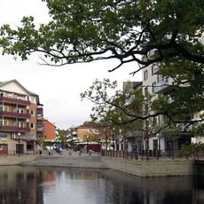
Gemeinde Härryda
5.1 km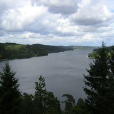
Landvettersjön
9.5 km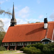
Hindås Church
8.4 km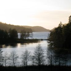
Västra Ingsjön
8.9 km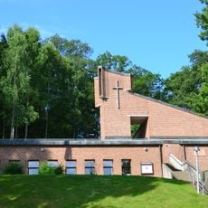
Aspenkyrkan
8.2 km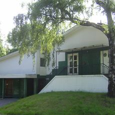
Bolås
9.4 km
Gallhålan
7.1 km
Risbohult
4.8 km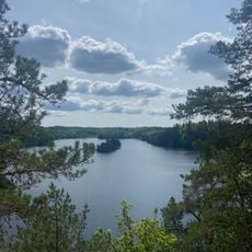
Yxsjön
8.5 km
Hulan
8.5 km
Landvetter 85:1
6.6 km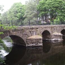
Wamme bro
9.7 km
Landvetter 141
7.4 km
Offerstenen
9.6 km
Lerums kommunhus
9.7 km
Lerum 96:3
9.7 km
Landvetter 146
7.5 km
Landvetter 144
7.4 km
Landvetter 145
7.5 km
Lerum 96:2
9.7 km
Aspenskyrkan
8.2 km
Lerum 26:1
9.6 km
Lerum 96:1
9.7 km
Gyllene Hinden
8.3 km
Min flicka
6.2 km
Sittande figur
6.2 km
Ett hus
6.3 km
Work of art
6 kmReviews
Visited this place? Tap the stars to rate it and share your experience / photos with the community! Try now! You can cancel it anytime.
Discover hidden gems everywhere you go!
From secret cafés to breathtaking viewpoints, skip the crowded tourist spots and find places that match your style. Our app makes it easy with voice search, smart filtering, route optimization, and insider tips from travelers worldwide. Download now for the complete mobile experience.

A unique approach to discovering new places❞
— Le Figaro
All the places worth exploring❞
— France Info
A tailor-made excursion in just a few clicks❞
— 20 Minutes