
Kung Hackes Grav, stenkammargrav i Bohuslän (Ljung 94:1)
Location: Uddevalla Municipality
GPS coordinates: 58.25579,11.93746
Latest update: October 7, 2025 06:57

Gemeinde Uddevalla
10.5 km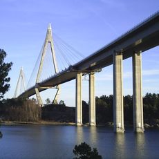
Uddevalla Bridge
9.5 km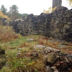
Tureborg Castle
9.5 km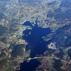
Byfjorden
9.6 km
Bohuslän Museum
10.4 km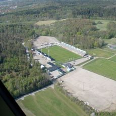
Markbygg Arena
4.4 km
Road at Åsen on old Highway 2
7.6 km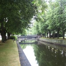
Bäveån
10.6 km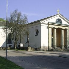
Uddevalla Church
10.3 km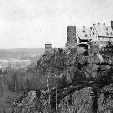
Tureborg
9.8 km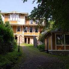
Villa Elfkullen
9.9 km
Bredfjället
6.9 km
Tureholm
10 km
Bohusläns Försvarsmuseum
10.4 km
Rådhuset
10.4 km
Djurhults kapell
9.4 km
Mariakyrkan, Uddevalla
9.2 km
Slussens Pensionat
10.3 km
Uddevalla public library
10.2 km
Petersonska huset
10.3 km
Villa Carolina, Gustafsberg
8.5 km
Konsthallen vid Bohusläns museum
10.5 km
Sunnervikens tingslag
10.8 km
Hasselbackshuset, Uddevalla
10.3 km
Järnbron
10.4 km
Djurhults kapell
9.4 km
Villa Ekbacken
8.2 km
Uddevalla 99:1
10.6 kmReviews
Visited this place? Tap the stars to rate it and share your experience / photos with the community! Try now! You can cancel it anytime.
Discover hidden gems everywhere you go!
From secret cafés to breathtaking viewpoints, skip the crowded tourist spots and find places that match your style. Our app makes it easy with voice search, smart filtering, route optimization, and insider tips from travelers worldwide. Download now for the complete mobile experience.

A unique approach to discovering new places❞
— Le Figaro
All the places worth exploring❞
— France Info
A tailor-made excursion in just a few clicks❞
— 20 Minutes