Romelanda 13:1, stone setting in Kungälv Municipality, Västra Götaland County, Sweden
Location: Kungälv Municipality
GPS coordinates: 57.93596,12.03512
Latest update: October 25, 2025 21:00
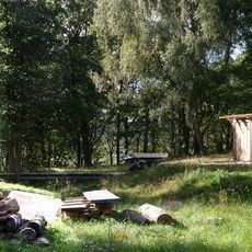
Ale vikingagård
3.7 km
Lysegården
1.2 km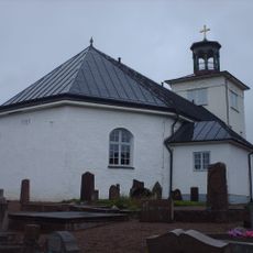
Nödinge Church
5.2 km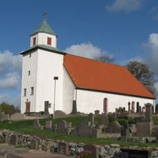
Romelanda Church
1.6 km
Mariebergs gård
5 km
Dösebackaplatån
2.6 km
Nödinge kommun
4.9 km
Ale tingslag
5.2 km
Kareby 38:1
3.9 km
Starrkärr 101:2
4.8 km
Starrkärr 212
4.2 km
Ale kommunhus
3.1 km
Starrkärr 7:1
4.9 km
Starrkärr 181:2
3.5 km
Starrkärr 101:3
4.8 km
Starrkärr 98:1
4.6 km
Starrkärr 127:1
4.9 km
Romelanda 60:1
1.1 km
Romelanda 73:1
4.8 km
Starrkärr 102:1
5 km
Starrkärr 101:1
4.8 km
Starrkärr 181:1
3.5 km
Gyrome altare
4.4 km
Romelanda 177
1.9 km
Starrkärr 8:1
5 km
Sculpture, Work of art
2 km
Scenic viewpoint
3.8 km
Scenic viewpoint
1.3 kmReviews
Visited this place? Tap the stars to rate it and share your experience / photos with the community! Try now! You can cancel it anytime.
Discover hidden gems everywhere you go!
From secret cafés to breathtaking viewpoints, skip the crowded tourist spots and find places that match your style. Our app makes it easy with voice search, smart filtering, route optimization, and insider tips from travelers worldwide. Download now for the complete mobile experience.

A unique approach to discovering new places❞
— Le Figaro
All the places worth exploring❞
— France Info
A tailor-made excursion in just a few clicks❞
— 20 Minutes