
Naverstad 166:8, hällristning i Bohuslän
Location: Tanum Municipality
GPS coordinates: 58.76431,11.56648
Latest update: August 23, 2025 07:53
Gemeinde Tanum
8.8 km
Elgåfossen
13.7 km
Vitlycke museum
14.8 km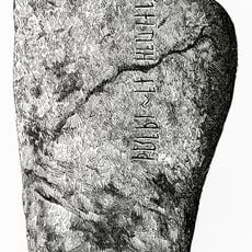
Kalleby Runestone
14.5 km
Naverstad Church
100 m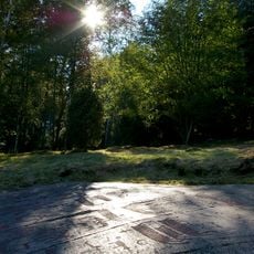
Rock carvings at Fossum
11.5 km
Tanums Hällristningsmuseum
10 km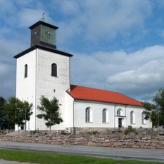
Tanum Church
14.6 km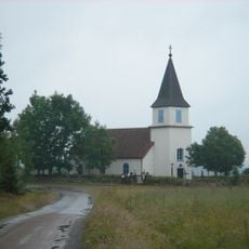
Mo Church
6.8 km
Tanums gästgiveri
14.8 km
Tanums tingshus
14.9 km
Lurs kyrka
14.9 km
Kynnefjäll-Sätret
8.2 km
Kville, Tanums och Bullarens tingslag
15 km
Tanums tingslag
15 km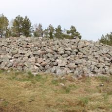
Tanum 2:1
15.1 km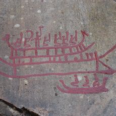
Tanum 6:1
15.1 km
Tanum 311:1
14.7 km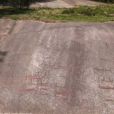
Tanum 1:1
15 km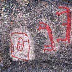
Tanum 149:1
11.4 km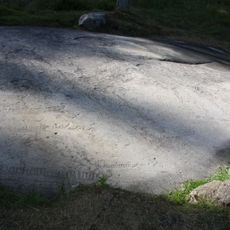
Tanum 262:1
11.3 km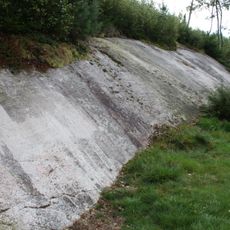
Tanum 356:1
14.5 km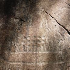
Tanum 357:1
14.5 km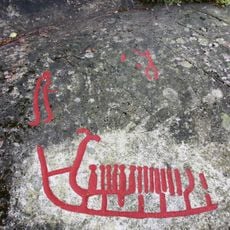
Tanum 358:1
14.5 km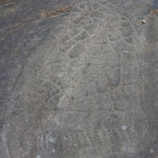
Tanum 361:1
14.6 km
Fagerhults kapell
8 km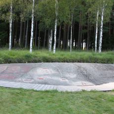
Tanum 255:1
11.5 km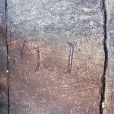
Tanum 8:1
15.1 kmReviews
Visited this place? Tap the stars to rate it and share your experience / photos with the community! Try now! You can cancel it anytime.
Discover hidden gems everywhere you go!
From secret cafés to breathtaking viewpoints, skip the crowded tourist spots and find places that match your style. Our app makes it easy with voice search, smart filtering, route optimization, and insider tips from travelers worldwide. Download now for the complete mobile experience.

A unique approach to discovering new places❞
— Le Figaro
All the places worth exploring❞
— France Info
A tailor-made excursion in just a few clicks❞
— 20 Minutes