Norum 22:1, stone setting in Stenungsund Municipality, Västra Götaland County, Sweden
Location: Stenungsund Municipality
GPS coordinates: 58.08185,11.84016
Latest update: October 25, 2025 22:09

Almö Bridge
4.1 km
Gemeinde Stenungsund
4.5 km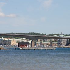
Stenungsöbron
2.6 km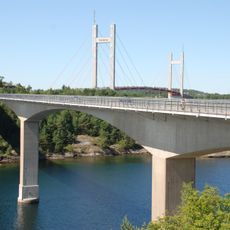
Källösundsbron
3.8 km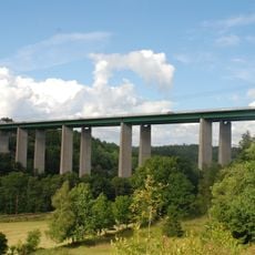
Ödsmålsbron
3.8 km
Ödsmåls kyrka
2.6 km
Stenungsunds kapell
1.7 km
Mariagården, Stenungsund
796 m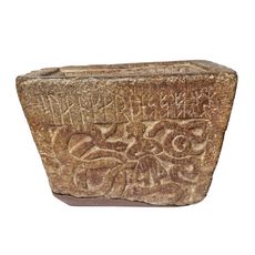
Bohusläns runinskrifter NIYR;3
3.3 km
Högenorums röse
2.4 km
Långelanda 69:1
4.8 km
Ödsmål 13:2
2.5 km
Ödsmål 13:1
2.5 km
Ucklum 3:1
4.9 km
Norum 1:1
4.1 km
Norum 34:1
1.3 km
Norum 29:2
1.4 km
Ödsmål 7:1
1.3 km
Norum 137:2
4.6 km
Norum 48:1
1.9 km
Norum 137:1
4.5 km
Norum 137:3
4.6 km
Norum 62:2
2.2 km
Vedden, Vätten
625 m
Ödsmål 103:1
4.7 km
Norum 62:1
2.2 km
Ödsmål 400
1.9 km
Norum 50:1
2.1 kmReviews
Visited this place? Tap the stars to rate it and share your experience / photos with the community! Try now! You can cancel it anytime.
Discover hidden gems everywhere you go!
From secret cafés to breathtaking viewpoints, skip the crowded tourist spots and find places that match your style. Our app makes it easy with voice search, smart filtering, route optimization, and insider tips from travelers worldwide. Download now for the complete mobile experience.

A unique approach to discovering new places❞
— Le Figaro
All the places worth exploring❞
— France Info
A tailor-made excursion in just a few clicks❞
— 20 Minutes