
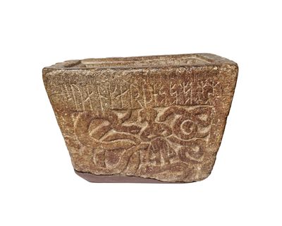
Bohusläns runinskrifter NIYR;3
Location: Norum
Inception: 12 century
Made from material: soapstone
GPS coordinates: 58.05330,11.85300
Latest update: March 8, 2025 23:52
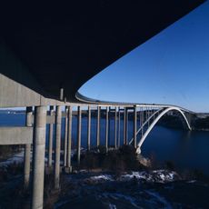
Almö Bridge
4.1 km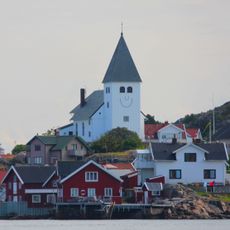
Gemeinde Tjörn
11.2 km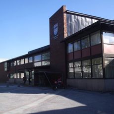
Gemeinde Stenungsund
5 km
Hake Fjord
7.8 km
Sundsby
9.8 km
Tjörn (lawis sa Suwesya)
11.1 km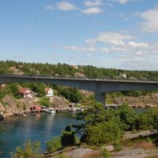
Skåpesundsbron
9.9 km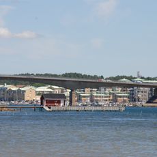
Stenungsöbron
2.7 km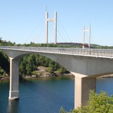
Källösundsbron
3.7 km
Ödsmålsbron
6.5 km
Timmervik
9.8 km
Ucklums kyrka
6.9 km
Börs Flåg
7.5 km
Valla Church
8.1 km
Ödsmåls kyrka
5.7 km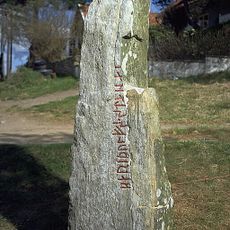
Kamień runiczny z Rävsal
7.1 km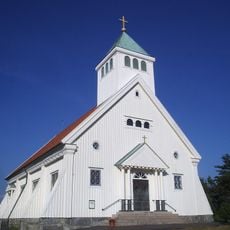
Stenungsunds kapell
2.9 km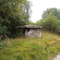
Dolmen von Styrdalen
9.5 km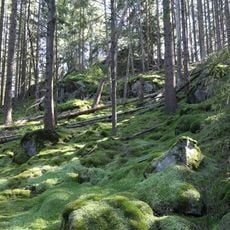
Ranebo naturskog
9.1 km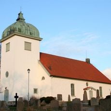
Jörlanda Church
8.1 km
Bastevik
7.6 km
Mariagården, Stenungsund
2.7 km
Ramsön med Keholmen
9.3 km
Ranebo lund
10.5 km
Burås school museum
10.4 km
Rördalen
5.2 km
Grössby södra 4:1
7.5 km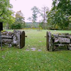
Gamla begravningsplatsen, Ucklum
8.2 kmReviews
Visited this place? Tap the stars to rate it and share your experience / photos with the community! Try now! You can cancel it anytime.
Discover hidden gems everywhere you go!
From secret cafés to breathtaking viewpoints, skip the crowded tourist spots and find places that match your style. Our app makes it easy with voice search, smart filtering, route optimization, and insider tips from travelers worldwide. Download now for the complete mobile experience.

A unique approach to discovering new places❞
— Le Figaro
All the places worth exploring❞
— France Info
A tailor-made excursion in just a few clicks❞
— 20 Minutes