
Gammelsätern, fäbod i Värmland (Ekshärad 129:1)
Location: Hagfors Municipality
GPS coordinates: 60.13626,13.34768
Latest update: March 12, 2025 06:04
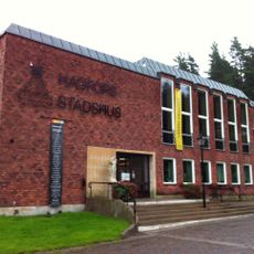
Hagfors Municipality
20.6 km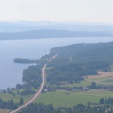
Övre Fryken
20.8 km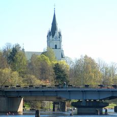
Sunne Church
34.9 km
Naren
29.7 km
Norra Ny Church
30.3 km
Tyngsjö Church
33.3 km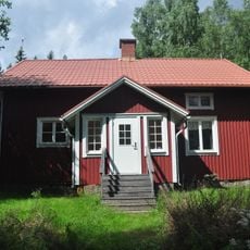
Hagfors Observatory
19.3 km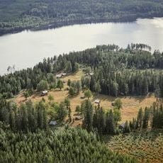
Kårebolssätern
30.3 km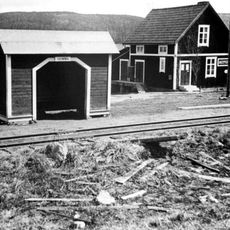
Gumhöjden
33.9 km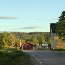
Brandsbol, Forsnäs and Norra Bråne
31.4 km
Vitsand Church
28.4 km
Gettjärnsklätten
35 km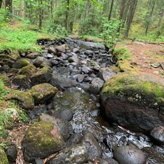
Mana-Örbäcken
23.2 km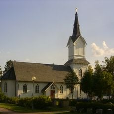
Tyngsjö kapellag
33.3 km
Teaterbiografen
35.2 km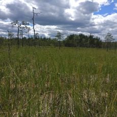
Fräkensjömyrarna
33.4 km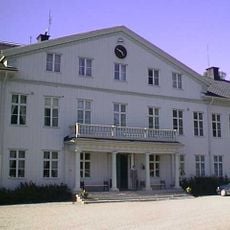
Uddeholms herrgård
19.9 km
Jan i Myren
27.7 km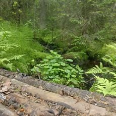
Nordsjöskogen
23.9 km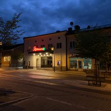
Stjärnan
18.9 km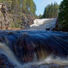
Brattfallet
18.7 km
Hagfors railroad museum
22.9 km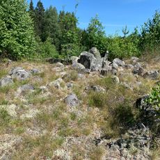
Trollröset
21.7 km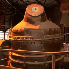
Bessemerverket i Hagfors
22.3 km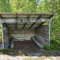
Ulvsberg
33.5 km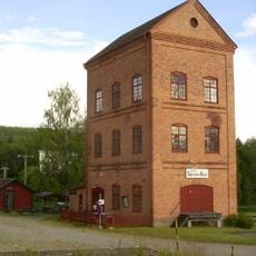
Stjärnfors
19.2 km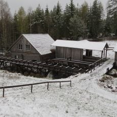
Hamra vadmalsstamp
4.2 km
Munkfors bruk
34.1 kmReviews
Visited this place? Tap the stars to rate it and share your experience / photos with the community! Try now! You can cancel it anytime.
Discover hidden gems everywhere you go!
From secret cafés to breathtaking viewpoints, skip the crowded tourist spots and find places that match your style. Our app makes it easy with voice search, smart filtering, route optimization, and insider tips from travelers worldwide. Download now for the complete mobile experience.

A unique approach to discovering new places❞
— Le Figaro
All the places worth exploring❞
— France Info
A tailor-made excursion in just a few clicks❞
— 20 Minutes