
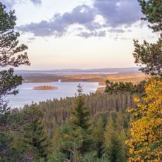
Arvika 1:1, röse i Värmland
Location: Arvika Municipality
GPS coordinates: 59.58340,12.61829
Latest update: September 26, 2025 12:51
Glaskogen
14.9 km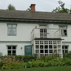
Rackstadmuseet
9.8 km
Jösse hundred
11.8 km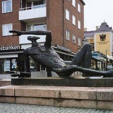
Fågelmannen by Liss Eriksson
8.1 km
Stora Gla
12.4 km
Oppstuhage
9.7 km
LM Ericssongården
20.2 km
Bergs Klätt
11.6 km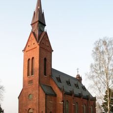
Ny Church
17 km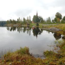
Nysockensjön
19.5 km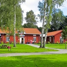
Sågudden's Museum
7.5 km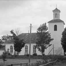
Mangskog Church
22 km
Högeruds kyrka
6.1 km
Arvika Library
8.3 km
Brunskogs kyrka
17.3 km
Bro, Slorud
18.6 km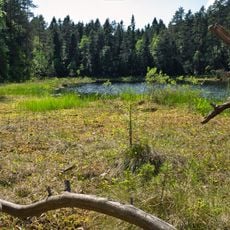
Svarthavet
8.5 km
Jösse tingslag
8.9 km
Arvika Fordonsmuseum
8.8 km
Svea
8.4 km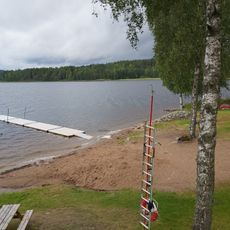
Årnäs, public beach
19.2 km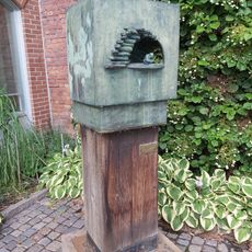
Ögat by Liss Eriksson
8 km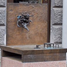
Överrumpling by Liss Eriksson
8.1 km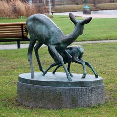
Hind med Kid by Arvid Knöppel
7.9 km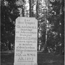
Gladisvall kyrkogrund
6.3 km
Mangskogs hembygdsgård
21.5 km
Klässbols linneväveri
9.2 km
Nytomta
9.8 kmReviews
Visited this place? Tap the stars to rate it and share your experience / photos with the community! Try now! You can cancel it anytime.
Discover hidden gems everywhere you go!
From secret cafés to breathtaking viewpoints, skip the crowded tourist spots and find places that match your style. Our app makes it easy with voice search, smart filtering, route optimization, and insider tips from travelers worldwide. Download now for the complete mobile experience.

A unique approach to discovering new places❞
— Le Figaro
All the places worth exploring❞
— France Info
A tailor-made excursion in just a few clicks❞
— 20 Minutes