
Hammar 15:2, röse i Närke
Location: Askersund Municipality
GPS coordinates: 58.89311,15.03329
Latest update: March 16, 2025 10:32
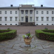
Stjernsund Castle
7.2 km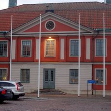
Askersund Municipality
7.3 km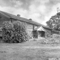
Kullängsstugan
14.1 km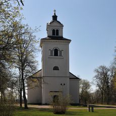
Hammars kyrka
9.2 km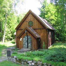
Saint Olaf's chapel
17.5 km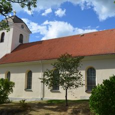
Sofia Magdalena Church
7.6 km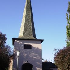
Adventskyrkan, Hallsberg
19.5 km
Dovrasjödalen
13.8 km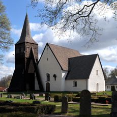
Godegård Church
19.6 km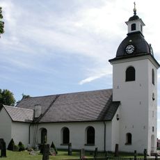
Lerbäck Church
7.3 km
Tjälvesta
11.2 km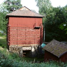
Trehörnings masugn
8.7 km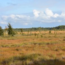
Kärnskogsmossen
17.7 km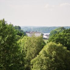
Prinskullen
7.6 km
Snavlunda
11.8 km
Dalmarks kapell
19.2 km
Hargemarken
14.7 km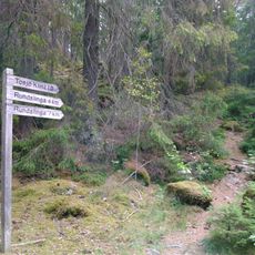
Mårsätter
10 km
Östra Å dammval
18.1 km
Tjälvesta
11.5 km
Hult
17.6 km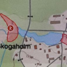
Skogaholms kvarn
18.9 km
Orkarebäcken
4 km
Ödesdovra
9.9 km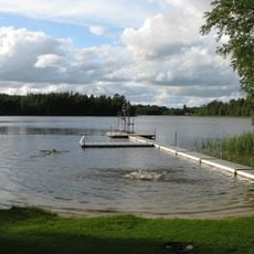
Veden, public beach
10.8 km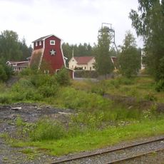
Zinkgruvan gruvmuseum
9.7 km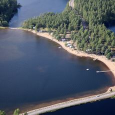
Reveln, public beach
18.1 km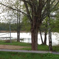
Public beach Bäcksjön
17.2 kmReviews
Visited this place? Tap the stars to rate it and share your experience / photos with the community! Try now! You can cancel it anytime.
Discover hidden gems everywhere you go!
From secret cafés to breathtaking viewpoints, skip the crowded tourist spots and find places that match your style. Our app makes it easy with voice search, smart filtering, route optimization, and insider tips from travelers worldwide. Download now for the complete mobile experience.

A unique approach to discovering new places❞
— Le Figaro
All the places worth exploring❞
— France Info
A tailor-made excursion in just a few clicks❞
— 20 Minutes