
Knista 103:1, ristning, medeltid/historisk tid i Närke
Location: Lekeberg Municipality
GPS coordinates: 59.20273,14.83024
Latest update: July 14, 2025 07:31
Riseberga Abbey
6.5 km
Garphyttan National Park
9.3 km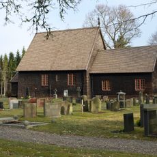
Tångeråsa Church
10.4 km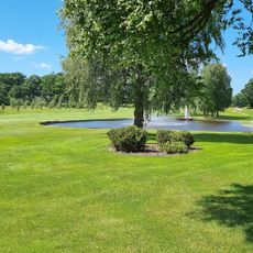
Lanna Lodge Golf Resort
5.9 km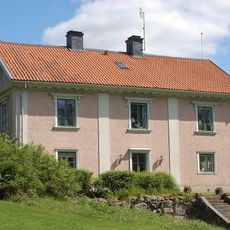
Riseberga gods
6.4 km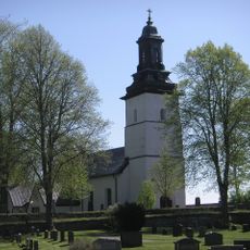
Knista Church
4 km
Riseberga bönhus
6.5 km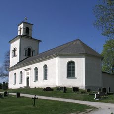
Vintrosa Church
9.9 km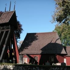
Kvistbro Church
4.8 km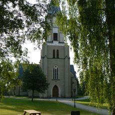
Hidinge church
4.4 km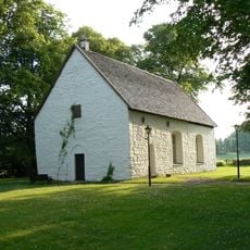
Hidinge old Church
5.2 km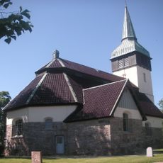
Hackvad Church
11.3 km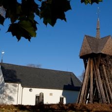
Kräcklinge Church
9.3 km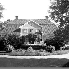
Lekeberga Manor
3.8 km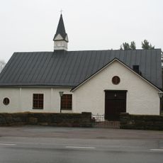
Mullhyttan Church
9.7 km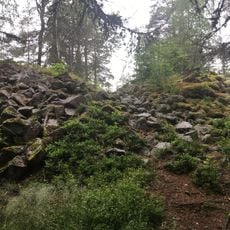
Klunkhytte skans
7.4 km
Vinteråsen
11.2 km
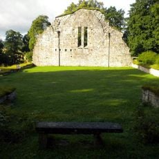
Granhammars kyrkoruin
8.1 km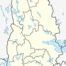
Lekeberga-Sälven
4.2 km
Sannabadet
3.5 km
Västernärkes domsaga
3.8 km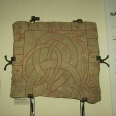
Närkes runinskrifter 4
6.5 km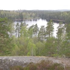
Rövarbro skans
10.2 km
Edsbergs tingslag
3.8 km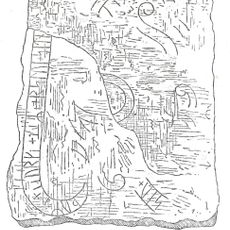
Närkes runinskrifter 8
9.3 km
Klunkhytte skans
7.5 km
Älgtjärnarna
8.1 km
Fiskartorpet
10.9 kmReviews
Visited this place? Tap the stars to rate it and share your experience / photos with the community! Try now! You can cancel it anytime.
Discover hidden gems everywhere you go!
From secret cafés to breathtaking viewpoints, skip the crowded tourist spots and find places that match your style. Our app makes it easy with voice search, smart filtering, route optimization, and insider tips from travelers worldwide. Download now for the complete mobile experience.

A unique approach to discovering new places❞
— Le Figaro
All the places worth exploring❞
— France Info
A tailor-made excursion in just a few clicks❞
— 20 Minutes