
Linde 104:2, stone setting in Västmanland, Sweden
Location: Lindesberg Municipality
GPS coordinates: 59.70528,15.11924
Latest update: July 14, 2025 13:28
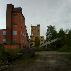
Stripa gruva
1.3 km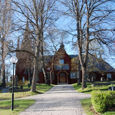
Ljusnarsberg Church
20.3 km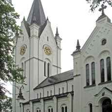
Nora Church
21.1 km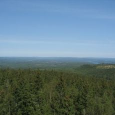
Kindla
13.8 km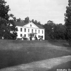
Hammarby
18.8 km
Järle kvarn
21.1 km
Usken
9.2 km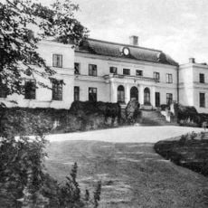
Yxe Manor
20.3 km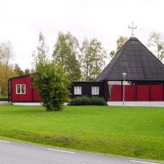
Sankta Anna kyrka, Stråssa
5.8 km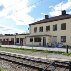
Lindesbergs station
13.8 km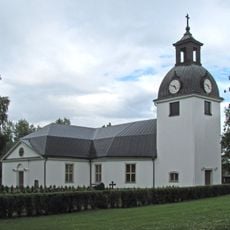
Järnboås Church
14.1 km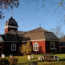
Hjulsjö Church
21 km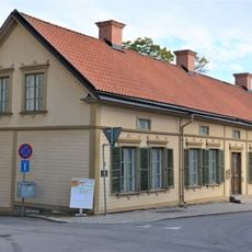
Göthlinska gården
21.3 km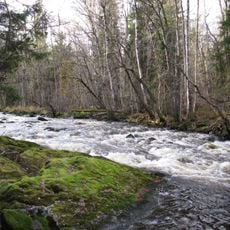
Järleån
20.1 km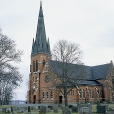
Guldsmedshyttan Church
944 m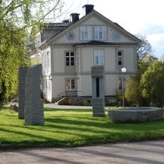
Åkerby sculpture park
15.8 km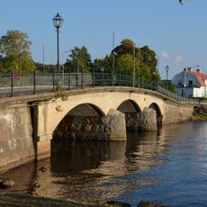
Gamla Sundsbron
14.6 km
Getapulien
20.2 km
Näset
15.4 km
Grängshytteforsarna
18.9 km
Lindesbergs tingshus
14 km
Lejakärret
7.1 km
Lindes domsagas tingslag
12.6 km
Lillsjöbäcken
16.9 km
Spångabäcken
13 km
Meshattbäcken
11.1 km
Nya Kopparbergs bergslags tingslag
20.1 km
Nora Kyrkoherdeboställe, komministeboställe, klockargård och församlingshem
21.1 kmReviews
Visited this place? Tap the stars to rate it and share your experience / photos with the community! Try now! You can cancel it anytime.
Discover hidden gems everywhere you go!
From secret cafés to breathtaking viewpoints, skip the crowded tourist spots and find places that match your style. Our app makes it easy with voice search, smart filtering, route optimization, and insider tips from travelers worldwide. Download now for the complete mobile experience.

A unique approach to discovering new places❞
— Le Figaro
All the places worth exploring❞
— France Info
A tailor-made excursion in just a few clicks❞
— 20 Minutes