
Nysätra 50:1, röse i Västerbotten
Location: Robertsfors Municipality
GPS coordinates: 64.32396,21.10850
Latest update: April 18, 2025 16:12
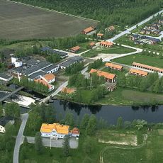
Robertsfors Municipality
19.5 km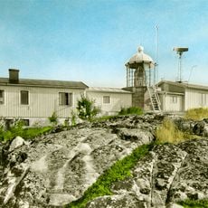
Bjuröklubb
28.4 km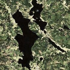
Bygdeträsket
32.6 km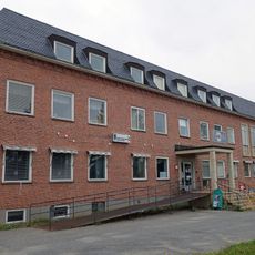
Burträsk municipality
30.7 km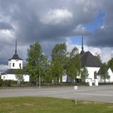
Nysätra Church
5.8 km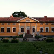
Dalkarlså Folk High School
33.4 km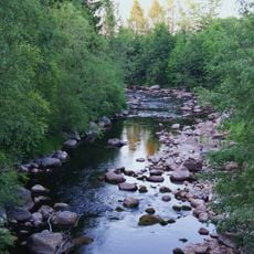
Dalkarlsån
33.3 km
Lövångers kommun
10.9 km
Luftabadet
6.9 km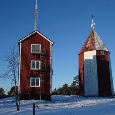
Rataskär
38.4 km
Bygdeå municipality
19.3 km
Rosenius house
5.7 km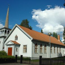
Bygdsiljum Church
29.1 km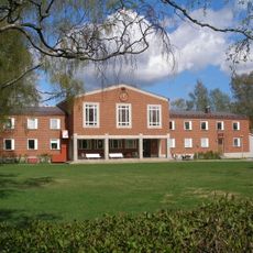
Skellefteå tingslag
38.4 km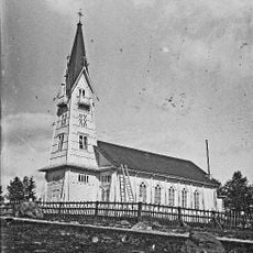
Överklintens kyrka
23.4 km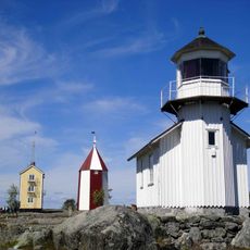
Rataskär lighthouse
38.3 km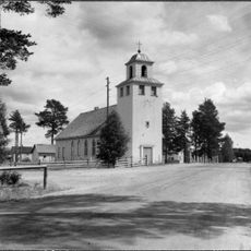
Flarkens kapell
11.8 km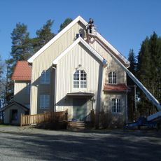
Ragvaldsträsk bönhus
36.5 km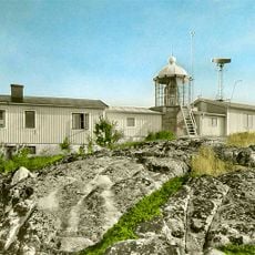
Bjuröklubb lighthouse
28.4 km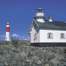
Gåsören lighthouse
39.1 km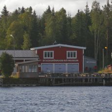
Stackgrönnans båtmuseum
42.9 km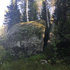
Mjölkstenen
18.1 km
Osrednja enota sodnega okraja Västerbotten
30.7 km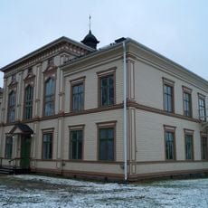
Tingshuset i Ånäset
6.2 km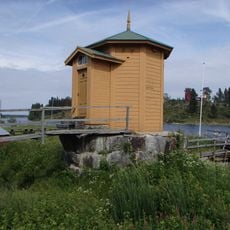
Mareografen, Ratan
38.5 km
Portbyggnaden på Bygdeborg
31.8 km
Tullgården i Ratan
38.7 km
Åbacka paviljong
32.9 kmReviews
Visited this place? Tap the stars to rate it and share your experience / photos with the community! Try now! You can cancel it anytime.
Discover hidden gems everywhere you go!
From secret cafés to breathtaking viewpoints, skip the crowded tourist spots and find places that match your style. Our app makes it easy with voice search, smart filtering, route optimization, and insider tips from travelers worldwide. Download now for the complete mobile experience.

A unique approach to discovering new places❞
— Le Figaro
All the places worth exploring❞
— France Info
A tailor-made excursion in just a few clicks❞
— 20 Minutes