Västerås 443:2, hällristning i Västmanland
Location: Västerås Municipality
GPS coordinates: 59.62169,16.62574
Latest update: October 25, 2025 14:44
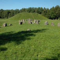
Anundshög
1.5 km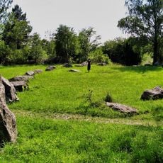
Runsa stone ship
1.5 km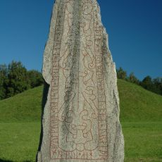
Anundstenen
1.5 km
Tomaskyrkan, Västerås
2 km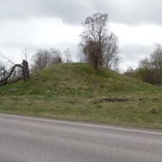
Grytahögen
479 m
Brandthovda-Hälla
969 m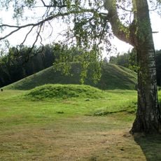
Badelunda
2.2 km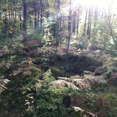
Västerås 475:1
1.7 km
Västerås 465:2
1.2 km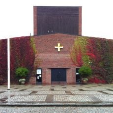
Tomaskyrkan
2 km
Västerås 436:2
434 m
Västerås 572:1
761 m
Västerås 572:2
761 m
Västerås 467:1
977 m
Västerås 436:1
434 m
Västerås 946:1
731 m
Rävbacken
2.4 km
Västerås 570:1
1.3 km
Västerås 443:1
13 m
Västerås 413:1
1.2 km
Västerås 465:1
1.2 km
Västerås 182:1
2.3 km
Västerås 460:1
752 m
Västerås 414:1
498 m
Västerås 451:1
1.3 km
Leo's lekland
1.6 km
Yoump
1.7 km
Scenic viewpoint
1.5 kmReviews
Visited this place? Tap the stars to rate it and share your experience / photos with the community! Try now! You can cancel it anytime.
Discover hidden gems everywhere you go!
From secret cafés to breathtaking viewpoints, skip the crowded tourist spots and find places that match your style. Our app makes it easy with voice search, smart filtering, route optimization, and insider tips from travelers worldwide. Download now for the complete mobile experience.

A unique approach to discovering new places❞
— Le Figaro
All the places worth exploring❞
— France Info
A tailor-made excursion in just a few clicks❞
— 20 Minutes