Ljustorp 156:1, röse i Medelpad
Location: Timrå Municipality
GPS coordinates: 62.66067,17.33214
Latest update: October 25, 2025 20:42
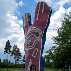
Y:et
16.6 km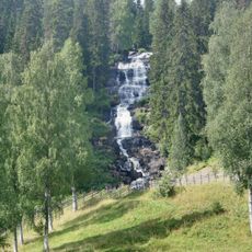
Västanåfallet
9.3 km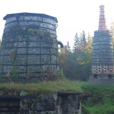
The iron factory Lögdö bruk
11.8 km
The farm Gudmundstjärn
15.9 km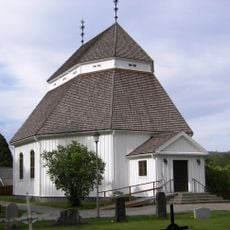
Viksjö Church
12.8 km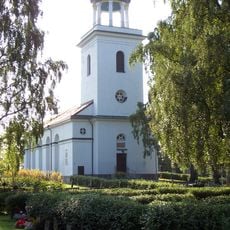
Timrå församling
16.5 km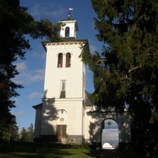
Hässjö church
15.5 km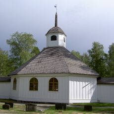
Lögdö Church
11.7 km
Indals kyrka
15.3 km
Ljustorp
9.2 km
Ljustorp Church
4 km
Stigsjö
14.2 km
Lagfors Church
7.1 km
Sörberge gravkapell
16.4 km
Mjällådalens naturreservat
4.3 km
Edsta kapell
1.5 km
Sörgårdens kapell
13.3 km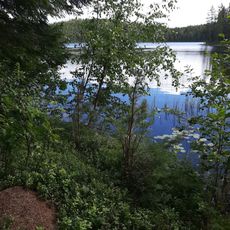
Örasjöbäcken-Storsvedjan
13 km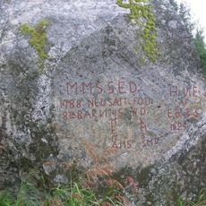
Stigsjö 1:1
13.9 km
Timrå 58:1
14.8 km
Ljustorp 330:1
2.4 km
Ljustorp 125:1
8.8 km
Timrå 57:1
13.8 km
Indals hembygdsgård
15.7 km
Ljustorp 10:1
7.3 km
Lövbergskyrkan
2.6 km
Trollkyrkan
1.8 km
Ljustorp 26:1
6 kmReviews
Visited this place? Tap the stars to rate it and share your experience / photos with the community! Try now! You can cancel it anytime.
Discover hidden gems everywhere you go!
From secret cafés to breathtaking viewpoints, skip the crowded tourist spots and find places that match your style. Our app makes it easy with voice search, smart filtering, route optimization, and insider tips from travelers worldwide. Download now for the complete mobile experience.

A unique approach to discovering new places❞
— Le Figaro
All the places worth exploring❞
— France Info
A tailor-made excursion in just a few clicks❞
— 20 Minutes