
Alnö 76:3, husgrund, förhistorisk/medeltida i Medelpad
Location: Sundsvall Municipality
GPS coordinates: 62.36372,17.52287
Latest update: March 10, 2025 12:50

Sundsvall Bridge
9.8 km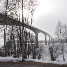
Alnö bridge
10 km
Ortviken
9.1 km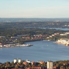
Sundsvall Bay
9.9 km
Klampenborg
7.5 km
Stornäset
10.2 km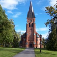
Alnö parish
3.7 km
Draghällan lighthouse
5.1 km
Fläsian
7.7 km
Skönsberg (stadsdelsområde)
10.2 km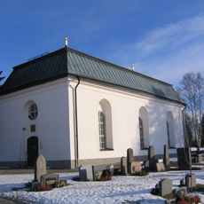
Tynderö Church
10.5 km
Spikarö kapell
492 m
Skönsmons gravkapell
9.2 km
Draghällan old lighthouse
5.1 km
Ostkustbanans vänner
9.3 km
Kumoröset
8 km
Medborgarhuset Kusten i Stockvik
8.6 km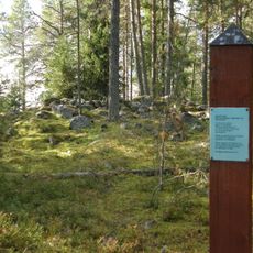
Sundsvall 1:1
8.2 km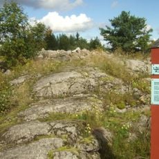
Njurunda 110:1
7.5 km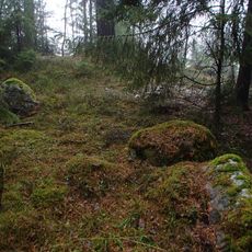
Skön 122:1
9.5 km
Skön 55:2
10.7 km
Skön 55:3
10.7 km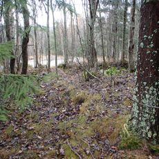
Skön 56:1
9.9 km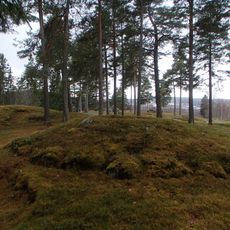
Skön 57:1
9.5 km
Skön 61:1
9.1 km
Skön 62:1
8.4 km
Svartvik industrial heritage
9.4 km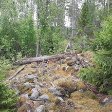
Skön 63:1
8.1 kmReviews
Visited this place? Tap the stars to rate it and share your experience / photos with the community! Try now! You can cancel it anytime.
Discover hidden gems everywhere you go!
From secret cafés to breathtaking viewpoints, skip the crowded tourist spots and find places that match your style. Our app makes it easy with voice search, smart filtering, route optimization, and insider tips from travelers worldwide. Download now for the complete mobile experience.

A unique approach to discovering new places❞
— Le Figaro
All the places worth exploring❞
— France Info
A tailor-made excursion in just a few clicks❞
— 20 Minutes