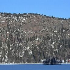
Nordingrå 205:1, stensättning i Ångermanland
Location: Kramfors Municipality
GPS coordinates: 62.95408,18.37203
Latest update: November 22, 2025 15:17
Omneberget
1.7 km
Högklinten
3.4 km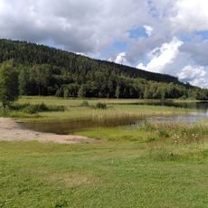
Omnesjön
1.3 km
Nordingrå 41:1
3.6 km
Nordingrå 117:1
3.7 km
Nordingrå 97:2
76 m
Nordingrå 41:2
3.6 km
Nordingrå 96:1
147 m
Nordingrå 37:1
738 m
Nordingrå 42:3
3.7 km
Nordingrå 38:1
640 m
Nordingrå 42:2
3.7 km
Nordingrå 42:1
3.7 km
Nordingrå 41:3
3.6 km
Nordingrå 33:1
3.1 km
Nordingrå 36:1
686 m
Nordingrå 37:2
729 m
Nordingrå 92:1
2.2 km
Nordingrå 93:1
3.7 km
Nordingrå 40:2
884 m
Nordingrå 40:1
863 m
Nordingrå 39:1
681 m
Mjällomvikens motormuseum
2.8 km
Nordingrå 97:1
60 m
Nordingrå 35:1
718 m
Nordingrå 208:1
3.8 km
Krikberget
1.1 km
Högklinten
3.7 kmReviews
Visited this place? Tap the stars to rate it and share your experience / photos with the community! Try now! You can cancel it anytime.
Discover hidden gems everywhere you go!
From secret cafés to breathtaking viewpoints, skip the crowded tourist spots and find places that match your style. Our app makes it easy with voice search, smart filtering, route optimization, and insider tips from travelers worldwide. Download now for the complete mobile experience.

A unique approach to discovering new places❞
— Le Figaro
All the places worth exploring❞
— France Info
A tailor-made excursion in just a few clicks❞
— 20 Minutes