Björlanda 479, hällristning i Bohuslän
Location: Gothenburg Municipality
GPS coordinates: 57.73623,11.80908
Latest update: October 26, 2025 23:21
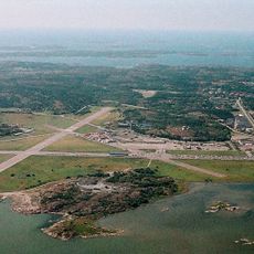
Torslanda Airport
3.3 km
Arendal
3.5 km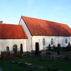
Björlanda Church
3 km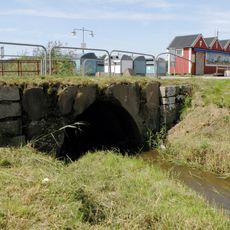
Skra bro
2.9 km
Björlanda 26:2
2.5 km
Björlanda 90:1
3.7 km
Lundby 145:1
2 km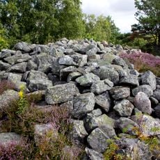
Björlanda 32:1
1.5 km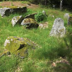
Kung Östens grav
3.7 km
Björlanda 61:1
2.9 km
Björlanda 62:1
3 km
Björlanda 33:1
1.5 km
Lundby 145:2
2 km
Björlanda 89:2
3.6 km
Björlanda 88:1
3.6 km
Torslanda 52:1
3.8 km
Björlanda 41:1
1.3 km
Björlanda 34:1
1.4 km
Björlanda 30:1
1.9 km
Björlanda 26:1
2.5 km
Björlanda 61:3
2.8 km
Björlanda 89:1
3.6 km
Björlanda 61:2
2.8 km
Björlanda 28:1
1.8 km
Work of art
2.9 km
Scenic viewpoint
1.3 km
Scenic viewpoint
2 km
Scenic viewpoint, tower, Observation tower, 24/7
2.7 kmReviews
Visited this place? Tap the stars to rate it and share your experience / photos with the community! Try now! You can cancel it anytime.
Discover hidden gems everywhere you go!
From secret cafés to breathtaking viewpoints, skip the crowded tourist spots and find places that match your style. Our app makes it easy with voice search, smart filtering, route optimization, and insider tips from travelers worldwide. Download now for the complete mobile experience.

A unique approach to discovering new places❞
— Le Figaro
All the places worth exploring❞
— France Info
A tailor-made excursion in just a few clicks❞
— 20 Minutes