
Källtorpet, lägenhetsbebyggelse i Uppland (Simtuna 515)
Location: Enköping Municipality
GPS coordinates: 59.72378,16.78349
Latest update: September 15, 2025 05:30
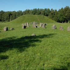
Anundshög
13 km
Hedensberg Manor
7 km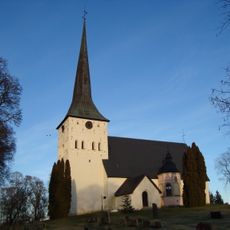
Romfartuna Church
12.7 km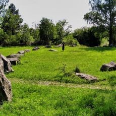
Runsa stone ship
12.9 km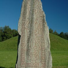
Anundstenen
13 km
Hubbo Church
11.2 km
Tortuna Church
5.9 km
Uppland Runic Inscription 1158
12.2 km
Sevalla Church
4.1 km
Västmanlands runinskrifter 17
4.9 km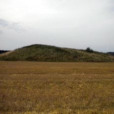
Östens hög
12.4 km
Rune stone Ashmolean AN1997.1
10.7 km
Västmanlands runinskrifter 16
5.9 km
Badelunda
12.7 km
Västmanlands runinskrifter Fv1988;36
12 km
Uppland Runic Inscription 1153
7.5 km
U 1152
13.1 km
Uppland Runic Inscription 1151
12.1 km
Uppland Runic Inscription 1154
12.3 km
Uppland Runic Inscription 797
11.7 km
Tärna naturreservat
12.6 km
Upplands runinskrifter 1157
4.5 km
Uppland Runic Inscription 788
12.2 km
Uppland Runic Inscription 795
6 km
Uppland Runic Inscription 1156
11.7 km
Simtuna tingslag
7.8 km
Furby kyrkoruin
10.5 km
Västmanlands runinskrifter 14
8.5 kmReviews
Visited this place? Tap the stars to rate it and share your experience / photos with the community! Try now! You can cancel it anytime.
Discover hidden gems everywhere you go!
From secret cafés to breathtaking viewpoints, skip the crowded tourist spots and find places that match your style. Our app makes it easy with voice search, smart filtering, route optimization, and insider tips from travelers worldwide. Download now for the complete mobile experience.

A unique approach to discovering new places❞
— Le Figaro
All the places worth exploring❞
— France Info
A tailor-made excursion in just a few clicks❞
— 20 Minutes